Organization
Contact

The provincial Department of Environment has released a new, updated mapping tool to help Islanders identify areas where development is not allowed due to environmental concerns.
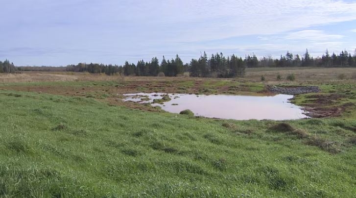
The Potential Development Restrictions map, along with accompanying guides and checklists, now includes additional information to help developers determine whether a property contains mapped or unmapped wetlands.
Environmentally sensitive areas, such as watercourses, wetlands, buffer zones and sand dunes, are protected under P.E.I.'s Environmental Protection Act, even if those features are seasonal.
Portal(s):

