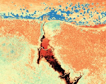
We are excited to announce the establishment of the Imaging Centre!
The Imaging Centre will lead our growing aerial data collection program. It will also lead innovative projects using machine learning and AI for vegetation inventories on seismic lines, caribou habitat mapping, and more!
The Imaging Centre will be led by Dr. Mir Mustafizur Rahman, who brings over 15 years of experience in leveraging cutting-edge remote sensing and geospatial technologies to address environmental challenges. Dr. Rahman is committed to advancing the application of remote sensing technologies for sustainable natural resource management and looks forward to making a meaningful impact.
The first public lidar dataset is now online! Derivatives for the Christina Lake area are available for download on our Data & Analytics Portal.

