Nature-based Solutions: Who benefits, who decides, who pays?
Event Date and Time
June 29th, 2026 at 8:00am to June 30th, 2026 at 5:00pm
Nature-based Solutions: Who benefits, who decides, who pays?
29-30 June 2026, STEM Learning Centre, York
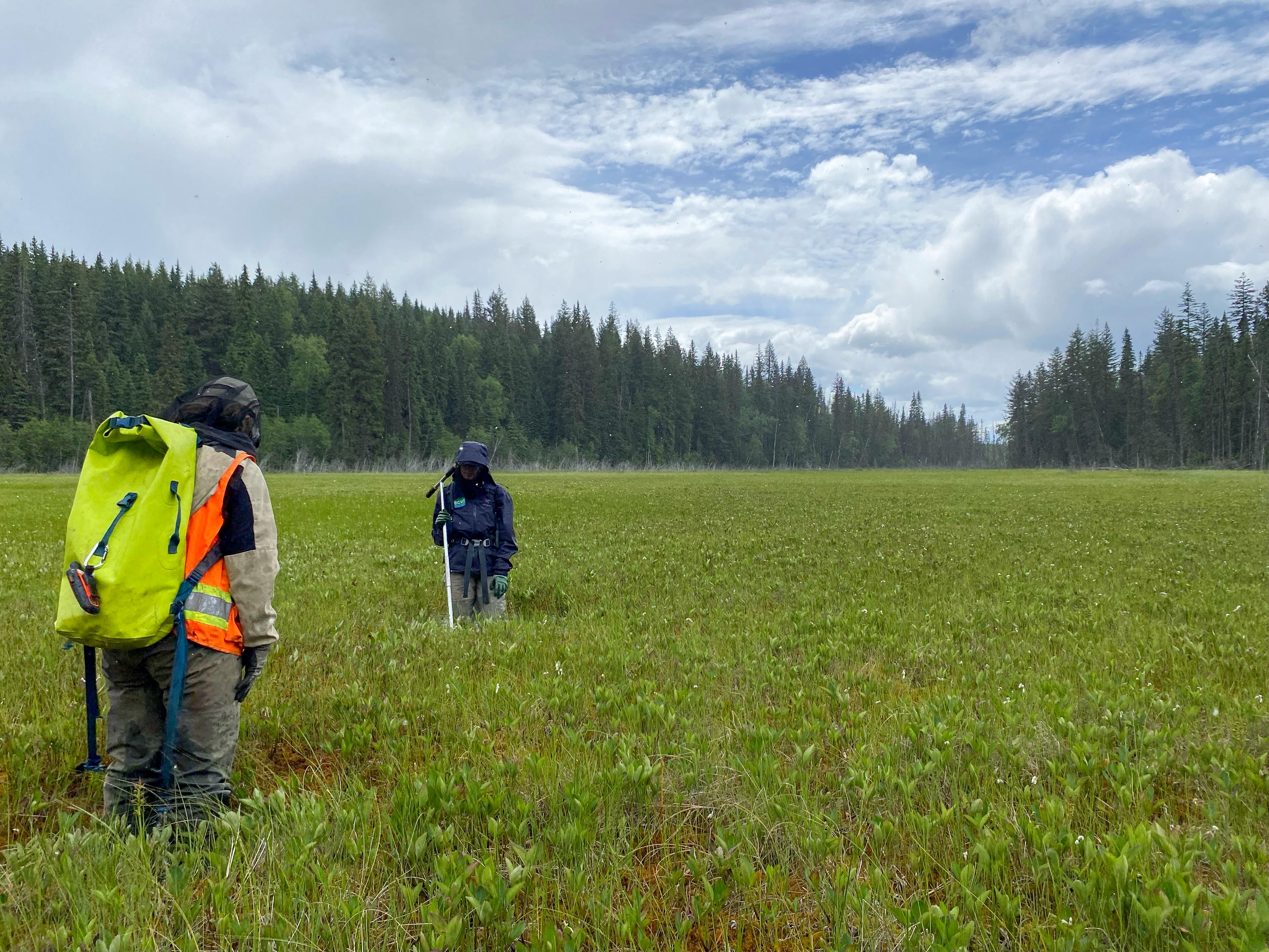
Nature-based Solutions (NbS) became an internationally recognised term at the 5th UN Environment Assembly in...