Organization

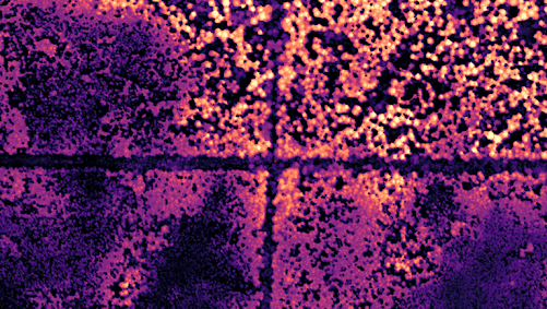
In partnership with various funders and collaborators, the ABMI has been collecting LiDAR data since 2022. During 2024, some of these data—covering approximately 5,600 square kilometres of Alberta—will be made freely and publicly available to benefit researchers, land managers, Indigenous communities, policymakers, and the broader community. Data covering an additional 38,000 square kilometres will be publicly released throughout 2024 and 2025.
Portal(s):

