Land Management Search Results
Resource
The presentation describes the purpose and development of a water purification model that can be used to help decision-makers evaluate tradeoffs for land use development proposals
Resource
The presentation describes how multi-temporal remote sensing offers a better understanding of landscape changes over time in comparison to the more traditional two-date, before and after comparison.
Resource
Dr. Brad Stelfox, from ALCES, did a presentation for the Town of Okotoks about Sustainability Approaches to Land Use Planning - Adoption of Triple Bottom Line Indicators. The presentation focussed on...
Resource
The presentation describes ABMI's role in collecting monitoring data and how the data can be used in environmental management.
Resource
One of the neat things about working in environmental monitoring is the sheer range of tools available to use, and the rate at which they’re evolving. One example that’s rapidly changing monitoring...
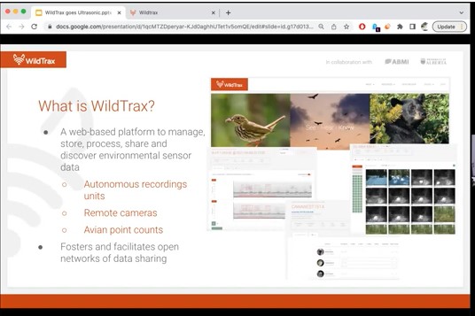
Resource
Join Alex MacPhail for an overview of ultrasonic data management and processing on WildTrax! Our newest features let you manage and tag data from bat or small mammal monitoring projects.