Land Management Search Results
Resource
Includes sections outlining the requirements of: Environmental impact to tar sands development, Water Resources Act, Clean Air Act , Clean Water Act and land reclamation
Resource
Authors
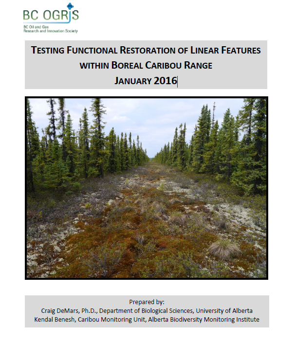
Craig DeMars
Kendal Benesh
The boreal ecotype of woodland caribou ( Rangifer tarandus caribou) is provincially Red-listed in British Columbia and federally listed as Threatened. Population declines of boreal caribou have been...
Resource
UAV-based remote sensing as a method for monitoring well pad recovery is determined to be feasible from a technical and field perspective.
Resource
Authors
Stan Aronoff
G.A. Ross
W.A. Ross
Figures and Tables associated with Volume 1
Resource
Authors
B.L. Barge
R.G. Humphries
S.L. Olson
The feasibility of a weather radar to map precipitation in the Alberta Oil Sands Environmental Research Program (AOSERP) study area near Fort McMurray, Alberta was investigated
Resource
Authors
Rachel Hovel
Jeremy Brammer
Emma Hodgson
Amy Amos
Trevor Lantz
Chanda Turner
Tracey Proverbs
Sarah Lord
Rapid environmental change in the Arctic elicits numerous concerns for ecosystems, natural resources, and ways of life. Robust monitoring is essential to adaptation and management in light of these...
Resource
Authors
Guillermo Castilla
Ronald Hall
Rob Skakun
Michelle Filiatrault
André Beaudoin
Michael Gartrell
Lisa Smith
Kathleen Groenewegen
Chris Hopkinson
Jurjen van der Sluijs
Resource Date:
February
2022
Wall-to-wall 30 m raster maps of broad forest type, stand height, crown closure, stand volume, total volume, aboveground biomass, and stand age were created for a ~400,000 km2 area, validated with independent data, and generalized into a polygon GIS layer resembling a traditional FI map. The MVI project showed that a reasonably accurate FI map for large, remote, predominantly non-inventoried boreal regions can be obtained at a low cost by combining limited field data with remote sensing data from multiple sources.
Resource
Authors
Jeremy Brammer
Nicolas Brunet
Cole Burton
Alain Cuerrier
This resource is available on an external database and may require a paid subscription to access it. It is included on the CCLM to support our goal of capturing and sharing the breadth of all...
Resource
Authors
Alberta Biodiversity Monitoring Institute
As of 2010, human footprint in the Active In-situ Region was 7.7%, whereas it was 20.8% in the Mineable Region. Total human footprint in all Woodland Caribou ranges increased between 2007 and 2010
Resource
Authors
Alberta Biodiversity Monitoring Institute
As of 2012, the total human footprint across the OSR was 13.8%. Energy footprint covered 2.2% of the OSR. The total human footprint in the OSR increased from 11.3% to 13.8% between 1999 and 2012.
Resource
Authors
Alberta Biodiversity Monitoring Institute
This report presents data on several indicators of environmental health for the Kakwa River Project area where ARC Resources operates in northwestern Alberta. The Kakwa River Project area covers...
Resource
Authors
Karine Pigeon
Meghan Anderson
Doug MacNearney
Jerome Cranston
Gordon Stenhouse
Laura Finnegan
This resource is available on an external database and may require a paid subscription to access it. It is included on the CCLM to support our goal of capturing and sharing the breadth of all...
Resource
Authors
Ingrid Visseren-Hamakers
Marcel Kok
Over fifty years of global conservation has failed to bend the curve of biodiversity loss, so we need to transform the ways we govern biodiversity. The UN Convention on Biological Diversity aims to...
Resource
Technology Transfer Notes are a series of publications focusing on forestry research applications. Technology Transfer Notes offer new techniques, methods, tools and procedures, and deliver research...
Resource
Oil and gas activities in Alberta require disturbing forested lands, among other ecosystems, in order to extract resources. Due to the number of oil and gas sites requiring reclamation, monitoring can...
Resource
Recent decline of trembling aspen ( Populus tremuloides Michx.) near St. Walburg, Saskatchewan, prompted a study to document the onset and progress of aspen decline and to examine how past climate...
Resource
Authors
Randi Lupardus
Ermias Azeria
Kierann Santala
Isabelle Aubin
Anne McIntosh
Results suggest that even as practices and policies evolve, reclamation does not fully alleviate the legacy effects of industrial disturbance. Trait-based approaches can inform recovery assessment.
Resource
Authors
Amy Nixon
Christopher Shank
Dan Farr
The Biodiversity Management and Climate Change Adaptation project has produced a comprehensive, evidence-based, and original examination of the effects of climate change on Alberta’s biodiversity
Resource
Authors
Jennifer Hird
Alessandro Montaghi
Gregory McDermid
Jahan Kariyeva
Brian Moorman
Scott Nielsen
Anne McIntosh
Good statistical agreement between key structural vegetation parameters, such as mean and maximum vegetation height, with PPC metrics successfully predicting most height and tree-diameter metrics.
Resource
Authors
William Wadsworth
Ave Dersch
Robin Woywitka
Kisha Supernant
The Athabasca Oil Sands (AOS) region of Alberta has one of the densest accumulations of known archaeological sites, and possibly the most archaeological sites at risk, in the country. Expanding...