Land Management Search Results
Resource
Authors
Randy Rudolph
M.M. Oleskiw
R.A. Stuart
Climatological analysis of recent data from the MAPS network of automatic meteorological data acquisition, forestry lookout stations, minisondes, pack surveys, and the Fort McMurray station
Resource
Authors
Len Knapik
Katherine Bessie
E. Richardson
Soil patterns in the area are generally quite simple, with large homogeneous soil units. The major criteria for differentiating soils are parent material and drainage conditions.
Resource
Reviews what is currently known of fish ecology and production of the Athabasca Basin, and includes discussions of fish production, sport and commercial use of fish populations
Resource
Authors
Dave Reid
Jim Sherstabetoff
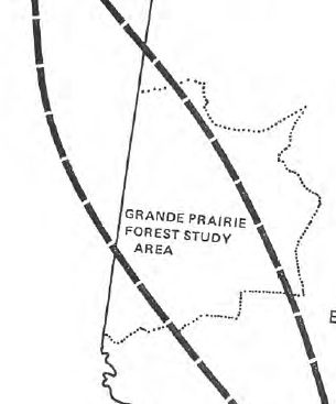
Eleven major vegetation types were identified and are mapped at a scale of 1:20 000 on the eastern portion of Syncrude Lease 17.
Resource
Authors
M. Hickman
S.E.D. Charlton
C.G. Jenkerson
Seasonal fluctuations in algal species and numbers were influenced by a myriad of interacting factors as were standing crop fluctuations. Numerically, cyanophycean algae dominated, followed by diatoms
Resource
Goals of this investigation were to describe the present hydrologic and sediment regimes and to predict the consequences of surface disturbances which precede oil sands mining using runoff plots.
Resource
348 benthic macroinvertebrate samples collected at 16 sites along 85 km of the Athabasca River between Fort McMurray and the Ells River. total of 27229 specimens belonging to 68 taxonomic groups
Resource
Describe, ananlyse, and interpret the socio-economic changes which had occurred in Fort McMurray from development of Suncor and Syncrude operations and assess changes in relation to development stages
Resource
Hydrotechnical research in the Alberta Oil Sands has been oriented toward establishment of baseline (pre-development) environmental conditions and identification of contaminant transport mechanisms
Resource
Authors
Mike Ostafichuk
George LaRoi
Of the 16 permanent plots established in 1981, four of these, Nos. 1,6,11, and 13 were destroyed by fire shortly after they were surveyed. In 1982, four new plots were established to replace the...
Resource
1982 supplement to the 1980 cumulated update of "A Bibliography of the Athabasca oil Sands, Fort McMurray, Alberta Area: Socio-Economic and Environmental Studies" contains references to about 900 item
Resource
Authors
Rod Olson
Bruce Thompson
Henry Bertram
Roy Peters
Determine changes in the input rate of atmospheric trace substances into sensitive ecosystems and provide a database for the documentation of variations in chemical characteristics of precipitation
Resource
Monthly flows are provided for the period 1912 to 1980 at 21 locations on the Athabasca River and its major tributaries. The flow data sets are suitable for water management planning
Resource
Nearly 76% of all water used in the basin in 1981 was obtained from the river, 22% from major tributaries and other surface sources, and the remaining 2% from groundwater
Resource
Authors
H. Yau
K.L. Murphy
P.L. Timpany
Once the composite model is calibrated and tested, it would predict mass loading or concentration of a parameter at any point along the study area for different future development scenarios
Resource
A recent study (using a 10% stratified random sample) estimated the amount of area physically disturbed by energy related activity, to be 66,576 acres (26,963 ha) for a selective study area...
Resource
Authors
George LaRoi
Mike Ostafichuk
16 undisturbed, 5-ha, permanent plots dominated by Pinus banksiana (jack pine) were established along an impingement gradient of atmospheric emissions from oil sands processing plants
Resource
Authors
Maurice Dusseault
Hal Soderberg
The post-reclamation subsidence of cast-back overburden is of interest to mining companies and regulatory agencies. Although subsidence may be of lesser concern than the prevention of soil degradation...
Resource
Potential for using satellite imagery to determine water quality parameters in the southwest end of Lake Athabasca and provide a mathematical model capable of simulating the circulation patterns
Resource
Authors
Larry Turchenek
J.D. Lindsay
Recurring patterns of soils, landforms, and vegetation were delineated. The information was transferred first to 1:50,000 preliminary maps and then to eight 1:126,720 maps which accompany this report