Wetlands Knowledge Search Results
Resource
Authors
Government of the Northwest Territories
This document outlines an approach to range planning for boreal woodland caribou (hereafter “boreal caribou”) in the Northwest Territories (NWT). It provides a common framework for how individual...
Resource
Authors
Government of Northwest Territories
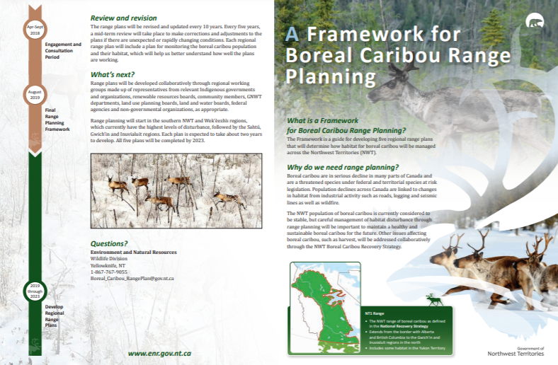
What is a Framework for Boreal Caribou Range Planning? The Framework is a guide for developing five regional range plans that will determine how habitat for boreal caribou will be managed across the...
Resource
Authors
Guillermo Castilla
Ronald Hall
Rob Skakun
Michelle Filiatrault
André Beaudoin
Michael Gartrell
Lisa Smith
Kathleen Groenewegen
Chris Hopkinson
Jurjen van der Sluijs
Resource Date:
February
2022
Wall-to-wall 30 m raster maps of broad forest type, stand height, crown closure, stand volume, total volume, aboveground biomass, and stand age were created for a ~400,000 km2 area, validated with independent data, and generalized into a polygon GIS layer resembling a traditional FI map. The MVI project showed that a reasonably accurate FI map for large, remote, predominantly non-inventoried boreal regions can be obtained at a low cost by combining limited field data with remote sensing data from multiple sources.