Search Results
Displaying:
1 - 5 of 5
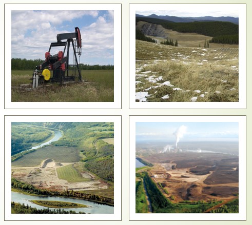
Natural Recovery on Low Impact Seismic Lines in Northeast British Columbia
Resource
WSP Golder (formerly Golder Associates Ltd) and Explor were supported by the Research and Effectiveness Monitoring Board (REMB) of the BCIP initiative, with funding provided by the BC Oil and Gas...

Shrub Changes with Proximity to Anthropogenic Disturbance in Boreal Wetlands Determined Using Bi-temporal Airborne LiDAR in the Oil Sands Region, Alberta Canada
Resource
Bi-temporal LiDAR data used to identify correspondence between density of anthropogenic disturbances, wetland shape complexity and changes in vegetation height within >1800 wetlands near Fort McKay

Towards a Shared Foundation for Innovation and Evolution
Resource
At the 2023 Alberta Chapter, Canadian Land Reclamation Association annual conference, Chris Powter, Tanya Richens, Andy Etmanski, Amanda Schoonmaker, and Dean MacKenzie participated in a panel...