
June 2025 Wetland Knowledge Exchange Newsletter
Resource Format
Website
As debate around the Ring of Fire intensifies, new research is bringing fresh urgency to the conversation.
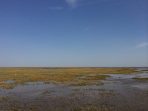
The Hudson and James Bay lowlands, home to some of the most expansive peatlands on the planet, contain an estimated 30 billion tonnes of carbon, enough to meaningfully shape global climate trajectories if released, according to the new study.
The five-year collaboration between WWF-Canada, Mushkegowuk Council’s Department of Lands and Resources, and McMaster University’s Remote Sensing Lab was published in Geophysical Research Letters.
It maps peat depth and calculates carbon storage across a vast region of muskeg, wetland, and subarctic forest.
James Snider, vice president of science, knowledge and innovation at WWF-Canada, said the findings reinforce the global importance of protecting the area.
“The headline message is, this is a globally significant area,” he told TimminsToday.
“The amount of carbon here is vast. From a conservation perspective, it only reaffirms the importance of special management and stewardship activities, knowing that this carbon is so important.”