Land Management Resources
Resource
Where forest floor was protected from disturbance, there were approximately 10 times as many aspen sprouts that were at least 3 times as tall as sprouts in the area where floor was stripped & replaced
Resource
Forest floor mineral soil mix had significantly greater soil microbial functional diversity than peat mineral soil mix. CWD increased microbial biomass and microbial functional diversity in both soil
Resource
Aspen sucker production from root fragments was 3X higher at salvage/placement depth of 40 cm compared to 15 cm. Successful suckering occurred in root fragments with little damage in upper 20 cm soil
Resource
The deeper soil salvage depth (40 cm) was better than the shallow salvage depth (15 cm) at establishing a forest understory plant community characteristic of the boreal forest.
Resource
Upland mesic sites showed a relatively strong ability to regenerate on their own (passive restoration), while lowland (bogs and fens) and upland dry sites were slow to recover.
Resource
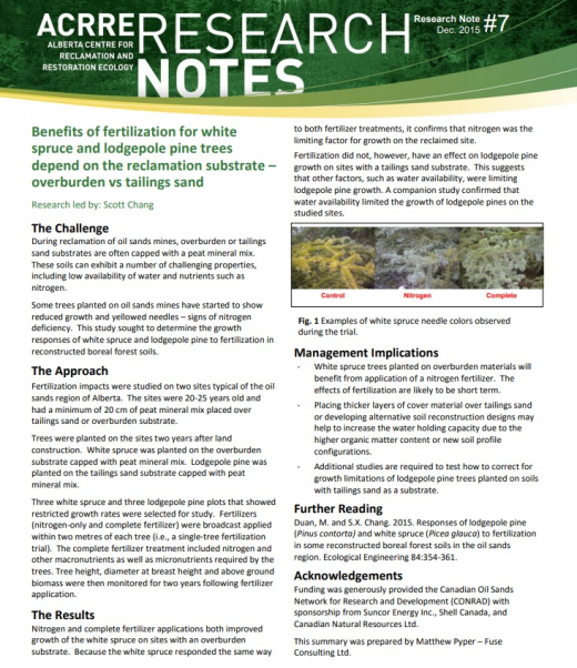
Nitrogen and complete fertilizer applications improved growth of white spruce on overburden sites. Fertilization did not, however, have an effect on lodgepole pine growth on tailings sand sites
Resource
Both aspen and spruce grew on sites with very high salinity and pH deeper in the soil profile (i.e., 40-100cm), so long as surface soils were not highly saline and had adequate moisture and nutrients.
Resource
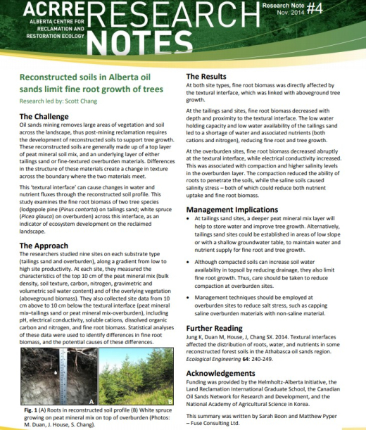
Tailings sand sites: fine root biomass decreased with depth and proximity to the textural interface. Overburden sites: fine root biomass decreased abruptly at the textural interface and EC increased
Resource
Plow-in pipeline approach resulted in a fescue-bluegrass vegetation community that had the best rough fescue recovery and greatest similarity to undisturbed natural grassland
Resource
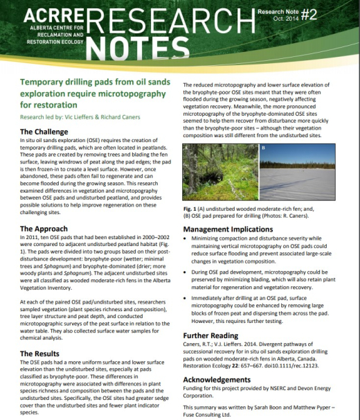
Differences in microtopography were associated with differences in plant species richness and composition between OSE pads and the undisturbed sites.