Land Management Resources
Resource
Authors
K.C. Mackenzie Associates Limited
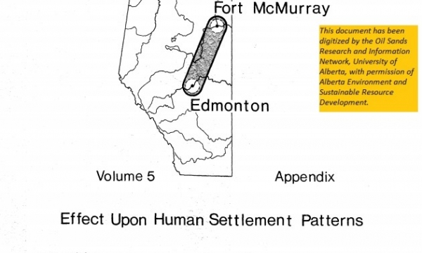
General purpose of this report is to examine various constraints, resulting from human settlement patterns, which will affect the selection of a route for the proposed oil sands pipeline corridor.
Resource
Describe, ananlyse, and interpret the socio-economic changes which had occurred in Fort McMurray from development of Suncor and Syncrude operations and assess changes in relation to development stages
Resource
Authors
Intercontinental Engineering of Alberta Ltd.
A collection of technical working papers that helped inform the final report and recommendations
Resource
Authors
Intercontinental Engineering of Alberta Ltd.
Opportunity for comprehensive planning of orderly industrial development in the Bituminous Sands Area. Plans should be formulated for regional development to provide optimal human habitat
Resource
Goals of this investigation were to describe the present hydrologic and sediment regimes and to predict the consequences of surface disturbances which precede oil sands mining using runoff plots.
Resource
Authors
Steve Hrudey
Richard Nelson
The literature on tainting of fish by petroleum-derived compounds has been reviewed for information specifically relevant to the potential for tainting of fish in the Athabasca River
Resource
This document contains 21 technical reports supporting the chemical control of S. arcticum in the Athabasca River program studies.
Resource
Program to address the extensive problems of biting flies in agriculture and provide information for management of black flies that occur during development of resource and recreational industries
Resource
The Oil Sands Vegetative Cooperative newsletter is published twice a year by the COSIA Oil Sands Vegetation Cooperative (OSVC), a collaborative effort to harvest and bank seeds from a wide variety of...
Resource
Authors
Alberta Biodiversity Monitoring Institute
Resource Date:
January
2020
Linear features, including seismic lines, pipelines, transmission lines, roads, railways, and trails are pervasive in Alberta’s boreal forest and have been implicated as a primary factor leading to...


