Land Management Search Results
Resource
Authors
Ronnie Drever
Maria Strack
Kristy Burke
Learn more about the recent work of two renowned Canadian researchers and how their work has benefited from various collaborations and communication across diverse stakeholder groups
Resource
The various applications of Ducks Unlimited Canada’s wetland inventories play a critical role in wetland conservation. They serve as key planning tools, helping people who live and work in the boreal...
Resource
The presentation covers the use of remote sensing in assessing biodiversity and how using covariate data can improve on the interpretation of results
Resource
In order to protect boreal wetlands, we must first know where they are. This 6-minute video will show you how Ducks Unlimited Canada uses satellite data and remote sensing techniques to map wetlands...
Resource
Oil sands industry case study evaluated the economic and ecological performance of alternative offset networks targeting either ecologically equivalent areas or regional conservation priorities
Resource
I will demonstrate how data from ABMI can be combined with designed research studies to answer questions at spatial scales and temporal extents that are not possible for a single researcher to achieve
Resource
Resource Date:
January
2016
The Duck Mountain Provincial Forest in west-central Manitoba is a landbase with a mosaic of uplands and wetlands. The wetlands are both interspersed and interconnected with uplands. Ecosystem Based...
Resource
The goal of the program is to develop a set of spatially explicit models that can be used to map the supply and economic value ecosystems goods and services
Resource
The presentation describes how multi-temporal remote sensing offers a better understanding of landscape changes over time in comparison to the more traditional two-date, before and after comparison.
Resource
Resource Date:
October
2017
This webinar explores the effects of roads built through peatlands with horizontal water flow, including ability to affect local hydrology and thus vegetation composition and structure.
Resource
Authors
Michael Merchant
Lyle Boychuk
The Government of Alberta’s current wetland inventory is a publicly available, generalized dataset collated from the best available spatial wetland data across the province. The Alberta Merged Wetland...
Resource
Resource Date:
March
2021
Rapid functional assessment tools like WESP (Wetland Ecosystem Services Protocol) give the ability to quantify several wetland functions and benefits, such as water storage, carbon sequestration and...
Resource
Resource Date:
February
2019
This presentation provides an overview of current boreal peatland wildfire research and of management approaches in the face of climate change.
Resource
Resource Date:
March
2017
This webinar provides an overview of a project funded by the Sustainable Forestry Initiative that involves collaboration among the Saskatchewan Research Council, Ducks Unlimited Canada, Louisiana...
Resource
Resource Date:
February
2019
This presentation provides an introduction to remote sensing and an overview of remote sensing approaches for mapping boreal wetlands.
Resource
Resource Date:
September
2023
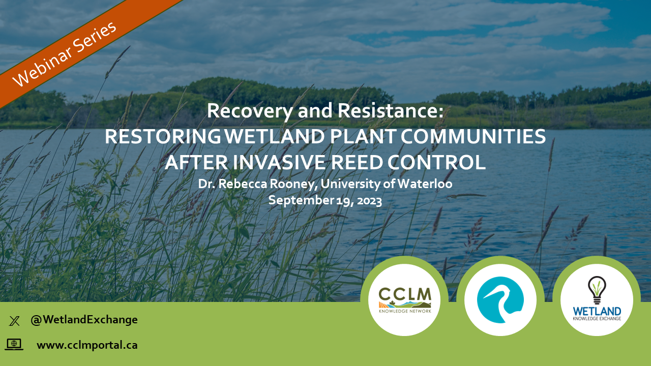
Recovery and Resistance: Restoring the wetland plant community after invasive reed control Presenter: Dr. Rebecca Rooney, University of Waterloo For established invasions, like European common reed...
Resource
Ducks Unlimited Canada (DUC) has been leading the effort to provide detailed and accurate wetland maps for large areas of the western boreal forest. To date, nearly 200 million acres of wetlands from...
Resource
One of the neat things about working in environmental monitoring is the sheer range of tools available to use, and the rate at which they’re evolving. One example that’s rapidly changing monitoring...