Land Management Search Results
Resource
Authors
Tyler Flockhart
Greg Mitchell
Richard Krikun
Erin Bayne
Successful conservation of migratory birds demands we understand how habitat factors on the breeding grounds influences breeding success. Multiple factors are known to directly influence breeding...
Resource
Authors
Jian Zhang
Scott Nielsen
Jessica Stolar
Youhua Chen
Wilfried Thuiller
We found that 368 species (24%) may lose on average > 80% of their current suitable climates (habitats), while 539 species (35%) were projected to more than double their current suitable range
Resource
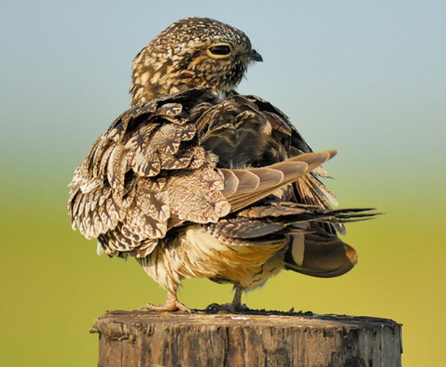
Conservation management is impeded by the lack of baseline data for many non-passerine, cryptic, or nocturnal species that are inadequately sampled by traditional monitoring programs. The recent rise...
Resource
Authors
Jeff Wilson
Scott Heckbert
Craig Aumann
Marius Cutlac
William Donahue
Mike Kennedy
Yongbo Liu
Daiyuan Pan
Wanhong Yang
The model documentation summarizes the data, variables and assumptions required to capture how water purification services are provided across landscapes in Alberta
Resource
Authors
Thomas Habib
Scott Heckbert
Jeffrey Wilson
Andrew Vandenbroeck
Jerome Cranston
Daniel Farr
This ecosystem service modelling system allows stakeholders to evaluate the opportunities and trade-offs to make informed decisions for achieving land-use planning goals.
Resource
Authors
Kimberly Dawe
Erin Bayne
Stan Boutin
This resource is available on an external database and may require a paid subscription to access it. It is included on the CCLM to support our goal of capturing and sharing the breadth of all...
Resource
Authors
Ranjeet Nagare
Young-Jin Park
Rob Wirtz
Dallas Heisler
Glen Miller
The upland and wetlands substrate in reclaimed oil sands landforms will be constructed of post-mining materials with an objective of replicating the landscape and hydrology of the surrounding boreal...
Resource
Authors
Boreal Avian Modelling Project
Bioclimatic niche models of current avian distribution and density for 80 boreal-breeding songbird species are mapped based on present counts and climate change models
Resource
Comprehensive assessment of mixing characteristics of the Athabasca River below Fort McMurray under ice-covered flow conditions. Two tracer tests conducted and analysed using recent theoretical models
Resource
Authors
Jacques Régnière
Lukas Seehausen
Véronique Martel
Despite their importance as mortality factors of many insects, the detailed biology and ecology of parasitoids often remain unknown. To gain insights into the spatiotemporal biology of insect...
Resource
Potential for using satellite imagery to determine water quality parameters in the southwest end of Lake Athabasca and provide a mathematical model capable of simulating the circulation patterns
Resource
Authors
Megan Hornseth
Karine Pigeon
Doug MacNearney
Terrence Larsen
Gordon Stenhouse
Jerome Cranston
Laura Finnegan
Natural regeneration of seismic lines, cleared for hydrocarbon exploration, is slow and often hindered by vegetation damage, soil compaction, and motorized human activity. There is an extensive...
Resource
Authors
Cassidy van Rensen
Scott Nielsena
Barry White
Tim Vinge
Victor Lieffers
Mapping of oil reserves involves the use of seismic lines (linear disturbances) to determine both their location and extent. Conventional clearing techniques for seismic assessment have left a legacy...
Resource
Authors
Hedwig Lankau
Erin Bayne
Craig Machtans
The boreal forest of western Canada is being dissected by seismic lines used for oil and gas exploration. The vast amount of edge being created is leading to concerns that core habitat will be reduced...
Resource
Mapping of oil reserves involves the use of seismic lines (linear disturbances) to determine size of reserves. These linear disturbances fragment forests and in many cases fail to regenerate trees...
Resource
Modelling results for the regional watersheds were encouraging and demonstrate that SWATBF has the potential to be utilized as a practical tool for conducting hydrologic assessments in the oil sands
Resource
Authors
Alberta Biodiversity Monitoring Institute
Boreal caribou populations are declining across Alberta and much of their Canadian range. Key factors causing this decline include a warming climate along with habitat change from industrial...
Resource
Authors
Alberta Biodiversity Monitoring Institute
Seismic lines and other linear features created by humans are thought to negatively impact woodland caribou. It is estimated that there are c. 100,000 km of conventional seismic lines in caribou...
Resource
Authors
Alberta Biodiversity Monitoring Institute
Resource Date:
January
2020
Linear features, including seismic lines, pipelines, transmission lines, roads, railways, and trails are pervasive in Alberta’s boreal forest and have been implicated as a primary factor leading to...
Resource
Authors
Richard Schneider
Erin Bayne
Our climate envelope projections for the 2080s indicate that virtually all reserves will, in time, be comprised of different ecosystem types than today.