Land Management Search Results
Resource
Authors
Alberta Biodiversity Monitoring Institute
As of 2015, 29.2% of Alberta is under human footprint, up from 25.7% in 1999—that’s an average increase of about 0.22%, or around 1450 km2 (560 sections) per year.
Resource
Authors
Daphne Cheel
Stephen Moran
Mark Trudell
Don Thacker
Terry Macyk
Report synthesizes and summarizes 36 RRTAC reports to provide the user with a unified source of information on land and groundwater reclamation research in the plains of Alberta
Resource
Authors
Erin Bayne
Diana Stralberg
Amy Nixon
Use of ABMI samples to understand genetic variation and changes in genetic structure is identified as an area where ABMI data can be used to understand how biodiversity is adapting to climate change
Resource
Authors
R.B. Caton
C.S. Davis
Martin Davies
D.L.M. Stevens
Ron Wallace
Tony Yarranton
Reid Crowther
The result of this review was a plan for a five-year biophysical monitoring program to provide the necessary scientific and technical information upon which to base an effective regulatory approach.
Resource
Authors
Karine Pigeon
Megan Hornseth
Doug MacNearney
Laura Finnegan
We used GPS data from caribou and wolves, field data on human and wildlife use of seismic lines and pipelines, vegetation heights extracted from LiDAR, non-invasive fecal DNA collections, and a suite...
Resource
Authors
Leila Taheriazad
Carlos Portillo-Quintero
Arturo Sanchez-Azofeifa
This report presents a comprehensive review of industrial applications of an emerging environmental monitoring technology called Wireless Sensor Networks (WSN) and a WSN installed at Coal Valley Mine
Resource
Authors
Marcus Becker
Dave Huggard
Melanie Dickie
Camille Warbington
Jim Schieck
Emily Herdman
Robert Serrouya
Stan Boutin
Estimating animal abundance and density are fundamental goals of many wildlife monitoring programs. Camera trapping has become an increasingly popular tool to achieve these monitoring goals due to...
Resource
Several insect species and groups of insects are examined for their potential as biological indicators in the AOSERP area.
Resource
Pesticide Chemicals Branch of Alberta Environment conducted a monitoring program in 1979 related to two methoxychlor treatments of the Athabasca River for black fly (Simulium arcticum) control.
Resource
The use of methoxychlor in the Athabasca River to control black fly (Diptera: Simuliidae) larvae was monitored in 1980. Effective control of black fly was observed for a distance of 60 km
Resource
Population reductions of non-target organisms in the Athabasca River due to methoxychlor was limited for the May 20/21 treatment but was considerable for the June 19 treatment.
Resource
No measureable air pollutant effect was observed on either vascular or lichen communities at any site even though significantly high tissue pollutant concentrations were documented within 10km of GCOS
Resource
Understanding how birds respond to landscape disturbance is key to effective restoration. Two studies used non-invasive microphone arrays to determine the exact locations of singing individuals in the...
Resource
Resource Date:
August
2021
With the support of Alberta Environment and Parks, the Alberta Biodiversity Monitoring Institute has become the trusted source for data about habitat, species, and the human footprint.
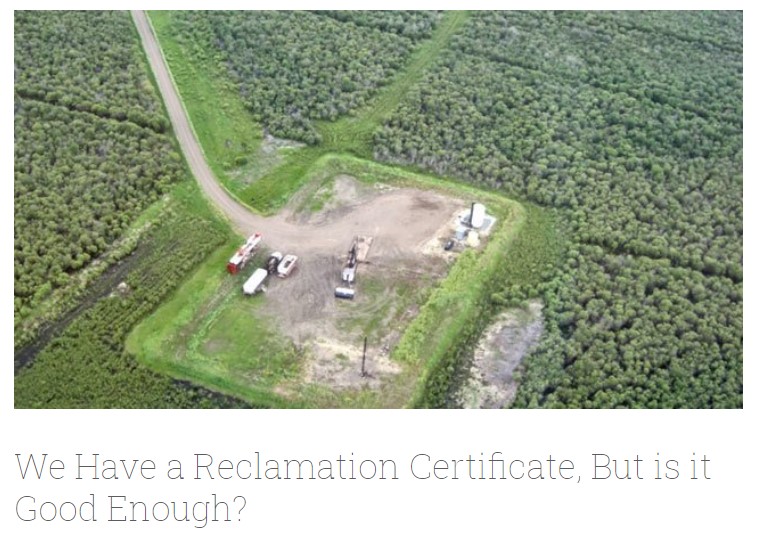
Resource
Authors
Alberta Biodiversity Monitoring Institute
In summer 2013 field crews spent five weeks sampling soil and vegetation indicators at 18 wellsites and adjacent reference sites in the Dry Mixedgrass subregion of Alberta
Resource
Authors
Jocelyn Gregoire
Richard Hedley
Erin Bayne
Seismic lines have an extensive footprint in Canada's western boreal forest that alter habitat conditions for many species. Seismic lines exist within a range of seral states due to changing practices...
Resource
Authors
D.W. Mayhood
Linda Corkum
Baseline data available on the Muskeg River hydrology, benthic invertebrates, plankton and fish are generally useful, but additional information is desireable
Resource
The present volume evaluates the 1980 monitoring program, and makes suggestions for the conduct of future monitoring studies on the Muskeg River and elsewhere in the AOSERP area
Resource
Authors
Chris Powter
Brent Scorfield
Brent Lakeman
Shane Patterson
The development of integrated geomatics and remote sensing technologies for environmental management holds promise to meet economic diversification and effective environmental management.
Resource
Authors
James Saracco
Peter Pyle
Danielle Kaschube
Monica Kohler
Christine Godwin
Kenneth Foster
Habitat loss and disturbance from industrial resource development may be contributing to declines in boreal bird populations. We applied hierarchical multi-species models to data from 31 bird species...