Land Management Search Results
Resource
Authors
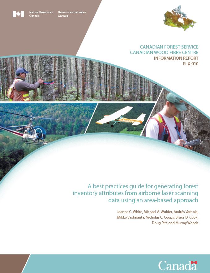
Joanne White
Michael Wulder
Andrés Varhola
Mikko Vastaranta
Nicholas Coops
Bruce Cook
Doug Pitt
Murray Woods
A best practice guide brings together state-of-the-art approaches, methods, and data to provide non-experts more detailed information about complex topics. With this guide, our goal is to inform and...
Resource
Authors
Alberta Biodiversity Monitoring Institute
As of 2015, 29.2% of Alberta is under human footprint, up from 25.7% in 1999—that’s an average increase of about 0.22%, or around 1450 km2 (560 sections) per year.
Resource
Vegetation workshop was held November 1979 to evaluate user needs for more detailed vegetation descriptions and maps and to review the results of the vegetation survey as a step towards meeting needs
Resource
Authors
Natalie Shelby-James
Sarah Thacker
Chris Powter
Paul Fuellbrandt
Tomislav Hengl
Leandro Parente
Objective is to work collaboratively with soil data users to develop the Alberta Background Soil Quality System (ABSQS) as a tool to assist industry and government in environmental management
Resource
The Natural Regions and Subregions classification represents the state-of-the-art in ecological land classification in Alberta. This classification provides a valuable baseline for resource management...
Resource
Authors
Aaron Sekerak
Gordon Walder
Maps showing fish collection locations, photos and details of the physical characteristics of nine streams within five watersheds (Firebag, Muskeg, Steepbank, MacKay, and Ells) in AOSERP study area
Resource
During 1978, a number of aquatic projects were funded by AOSERP using a habitat inventory and mapping approach.
Resource
Authors
Kishan Sambaraju
Chantal Côté
Invasions of exotic forest insects and pathogens can devastate evolutionarily naïve habitats and could cause irreversible changes to urban and natural ecosystems. Given the ever-increasing volume of...
Resource
Authors
M.S. Thompson
J. Crosby-Diewold
Relationship between aquatic macrophyte growth and habitat factors found in the AOSERP study area is outlined, as are some implications of aquatic macrophyte inventory for management and revegetation
Resource
Authors
Alberta Biodiversity Monitoring Institute
From1999 to 2015, human activity in Alberta visibly converted over 23,000 km2 of native ecosystems into residential, recreational, or industrial landscapes
Resource
Resource Date:
August
2021
With the support of Alberta Environment and Parks, the Alberta Biodiversity Monitoring Institute has become the trusted source for data about habitat, species, and the human footprint.
Resource
Authors
Valda Walsh
Charles Hobart
Research concepts, methodologies and data collection instruments and procedures which are appropriate in white communities might not be so in Indian and Metis communities.
Resource
As caribou habitat restoration initiatives have become more widespread across Alberta in the last decade, key uncertainties have been recognized regarding what treatment types are appropriate for...
Resource
Authors
Magali Houde
Eva Krümmel
Tero Mustonen
Jeremy Brammer
Tanya Brown
John Chételat
Parnuna Egede Dahl
Rune Dietz
Marlene Evans
Mary Gamberg
Marie-Josée Gauthier
José Gérin-Lajoie
Aviaja Lyberth Hauptmann
Joel Heath
Dominique Henri
Jane Kirk
Brian Laird
Mélanie Lemire
Ann Lennert
Robert Letcher
Sarah Lord
Lisa Loseto
Gwyneth MacMillan
Stefan Mikaelsson
Edda Mutter
Todd O'Hara
Sonja Ostertag
Martin Robards
Vyacheslav Shad
Arctic Indigenous Peoples are among the most exposed humans when it comes to foodborne mercury (Hg). In response, Hg monitoring and research have been on-going in the circumpolar Arctic since about...
Resource
Authors
James Saracco
Peter Pyle
Danielle Kaschube
Monica Kohler
Christine Godwin
Kenneth Foster
Habitat loss and disturbance from industrial resource development may be contributing to declines in boreal bird populations. We applied hierarchical multi-species models to data from 31 bird species...
Resource
Authors
Roger DeAbreu
Shane Patterson
Todd Shipman
Chris Powter
NRCan pilot science projects have proven that Earth Observation can provide relevant and valuable information to inform and enhance monitoring and support regulatory frameworks
Resource
Authors
M.D. Thompson
M.C. Wride
M.E. Kirby
Classification system devised for mapping vegetation and surficial geology from 1:60,000 scale false colour infrared photographs; 1:50 000 base maps plus a vegetation and a surficial geology overlay
Resource
Ground surveys of vegetation and surficial geology generally confirmed that the classification systems used in the mapping accurately described and defined the ecological habitat features
Resource
Results of forest health monitoring activities in Alberta, Saskatchewan, Manitoba, and the Northwest Territories are summarized for 1996. These results are based on assessments made on 17 permanent...
Resource
The Galena Hill Ecosystem Map (GHEM) was initially developed to provide information about existing plant communities and their growth conditions to guide upcoming reclamation efforts at the historical...