Wetlands Knowledge Search Results
Resource
Authors
Kevin Smith
Christopher Smith
Silvie Forest
Alain Richard
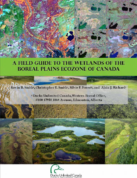
This guide provides an in-depth look at Ducks Unlimited Canada's (DUC) remote-sensing satellite mapping efforts and the development of the DUC enhanced wetland classification system.
Resource
A resource to improve understanding of wetlands in the Bow River region to promote conservation through protection and restoration. Wetlands are natural assets that have a vital role in climate change...
Resource
Ducks Unlimited Canada has been leading the effort to provide detailed and accurate wetland maps for large areas of the western boreal forest. These mapping products have become the cornerstone of DUC...
Resource
Authors
Sylvain Ménard
Marcel Darveau
Louis Imbeau
Forest inventory maps can be used to quantify the area of wetland habitats and to define homogeneous regions in this regard, and therefore provide a functional tool for coarse-scale wetland management
Resource
Authors
United Nations Environment Programme
Resource Date:
November
2022
Peatlands are unique and rare ecosystems that, despite only covering around 3-4% of the planet’s land surface, they contain up to one-third of the world’s soil carbon, which is twice the amount of...
Resource
Authors
Larry Turchenek
J.D. Lindsay
The emphasis in this inventory is on soils and the landforms on which they occur; both are indicated on maps. Air photo interpretation and field checking have been completed
Resource
Resource Date:
March
2022
In the discontinuous permafrost zone, thermokarst lakes and thermal erosion are widespread and common permafrost thaw-related phenomena. Thermokarst features are indicative of thaw sensitive...
Resource
Authors
Jahan Kariyeva
Mike Watmough
Lyle Boychuk
Matthew Wilson
Nadia Rochdi
Bob Sleep
Robert Albricht
Johanna Weston
The key outcome of the workshop was the creation of a vision statement to guide leadership and action for an optimal provincial scale wetland inventory.