Wetlands Knowledge Search Results
Resource
Vegetation workshop was held November 1979 to evaluate user needs for more detailed vegetation descriptions and maps and to review the results of the vegetation survey as a step towards meeting needs
Resource
Authors
Aaron Sekerak
Gordon Walder
Maps showing fish collection locations, photos and details of the physical characteristics of nine streams within five watersheds (Firebag, Muskeg, Steepbank, MacKay, and Ells) in AOSERP study area
Resource
During 1978, a number of aquatic projects were funded by AOSERP using a habitat inventory and mapping approach.
Resource
Authors
M.S. Thompson
J. Crosby-Diewold
Relationship between aquatic macrophyte growth and habitat factors found in the AOSERP study area is outlined, as are some implications of aquatic macrophyte inventory for management and revegetation
Resource
Authors
James Saracco
Peter Pyle
Danielle Kaschube
Monica Kohler
Christine Godwin
Kenneth Foster
Habitat loss and disturbance from industrial resource development may be contributing to declines in boreal bird populations. We applied hierarchical multi-species models to data from 31 bird species...
Resource
Authors
Roger DeAbreu
Shane Patterson
Todd Shipman
Chris Powter
NRCan pilot science projects have proven that Earth Observation can provide relevant and valuable information to inform and enhance monitoring and support regulatory frameworks
Resource
Authors
M.D. Thompson
M.C. Wride
M.E. Kirby
Classification system devised for mapping vegetation and surficial geology from 1:60,000 scale false colour infrared photographs; 1:50 000 base maps plus a vegetation and a surficial geology overlay
Resource
Ground surveys of vegetation and surficial geology generally confirmed that the classification systems used in the mapping accurately described and defined the ecological habitat features
Resource
Authors
Robert Danielson
Suzanne Visser
The overall objectives of these studies were to characterize the mycorrhizal status of jack pine and green alder which are prime candidates as reclamation species for oil sand tailings
Resource
Authors
Jackie Weir
Shane Mahoney
Brian McLaren
Steven Ferguson
Resource Date:
March
2007
Knowledge of the effect of mining developments on caribou Rangifer tarandus is fragmentary. We examined the impact of the Hope Brook gold mine, southwestern Newfoundland, on the La Poile woodland...
Resource
The Alberta Research Council has conducted a surface mine reclamation research program at the operations of Smoky River Coal Limited near Grande Cache, Alberta since 1972. The overall objective of...
Resource
Authors
Barbara Darroch
Michelle Pahl
Byron James
Results of germination experiments can be affected by contamination of seeds by fungi and bacteria. Seed surface disinfection is a useful method of reducing seed contamination.
Resource
Authors
Ann Smreciu
Kimberly Gould
This study evaluated the effect of sowing season (spring versus fall) and propagule type (clean seeds versus whole fruit) on emergence of 41 species on oil sands mine reclamation sites.
Resource
The Galena Hill Ecosystem Map (GHEM) was initially developed to provide information about existing plant communities and their growth conditions to guide upcoming reclamation efforts at the historical...
Resource
Breeding bird studies using the mapping method were combined with intensive habitat quantification to determine the relative values to breeding avifauna of 21 habitat types
Resource
Authors
Larry Turchenek
J.D. Lindsay
The emphasis in this inventory is on soils and the landforms on which they occur; both are indicated on maps. Air photo interpretation and field checking have been completed
Resource
Authors
Sini-Selina Salko
Jussi Juola
Iuliia Burdun
Harri Vasander
Miina Rautiainen
Boreal peatlands store ~25 % of global soil organic carbon and host many endangered species; however, they face degradation due to climate change and anthropogenic drainage. In boreal peatlands...
Resource
Authors
Wetland Knowledge Exchange
Resource Date:
November
2023
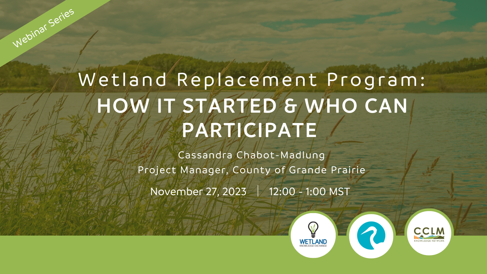
Cassandra Chabot-Madlung, County of Grande Prairie presents - Wetland Replacement Program: How it Started & Who Can Participate This is a Municipal viewpoint of Alberta Environment and Protected Areas...
Resource
Authors
Richard Johnson
P. Bork
E.A.D. Allen
W.H. James
L. Koverny
The experiments detailed in this report show that it was possible to increase the solids content of sludge to 50% solids by adding three parts sand (tailings sand) to one part sludge.
Resource
Authors
Stephen Moran
Terry Macyk
Mark Trudell
Margot Pigot
In 1985, a one hectare pond developed in the upland reclaimed landscape at Vesta Mine in an area where extensive ponding had not previously been observed. Because of the thickness of the spoil, about...