
Advanced Landcover Prediction & Habitat Assessment (ALPHA) Products
The ABMI's Advanced Landcover Prediction & Habitat Assessment (ALPHA) program uses Earth observation data and spatial data science to map and monitor Alberta's natural landscape. All of the ABMI’s geospatial products are freely available for download and use on their website. Geospatial products in the ALPHA program include:
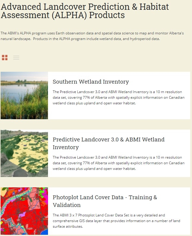
● Southern wetland inventory: a polygon-based dataset for the Grassland and Parkland Natural Regions of Alberta
● Predicted Landcover 3.0 & ABMI Wetland Inventory: a dataset classifying roughly three-quarters of Alberta into seven wetland classes. This dataset is generated using machine learning to predict patches of wetland habitat.
● Boreal surface water inventory: a dataset providing the location, extent, and attributes of over 420,000 wetlands in the Boreal Forest Natural Region
● Boreal wetland probability data: a raster-based dataset that provides the probability of wetland habitat at a 10 m resolution across the Boreal Forest Natural Region.
● Hydro Temporal Variability: a summary of variability in surface water extent during the ice-free months (April to October) from 2014 to 2017 across Alberta.