
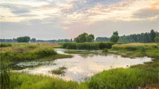
Fire Management for Prince Albert National Park – Planned and Random Ignition Prescribed Burns
Resource Format
Document
What happens when a region no longer has the ideal climate for its star crop?
From late September through October, Massachusetts’ deep-red cranberry bogs are flooded with water to dislodge the fruit—the celebrated official state berry—from their vines, and the historic fields are almost ready for harvest.
But some cranberry farms are increasingly struggling with rising temperatures in the Northeast and the current generation of owners is considering what’s next.
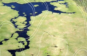
Over the next few years, ABMI is excited to be co-developing programs to build geospatial capacity with Indigenous partners in Alberta. Thanks to financial support from the Commission of Environmental Cooperation and the Alberta Ecotrust Foundation, we will be working with the Institute of Prairie and Indigenous Archaeology, Lakeland Métis Nation, and Foothills Ojibway First Nation to co-develop education programs and support systems that empower Indigenous communities to harness the power of geospatial data and tools.
Over the next two years, we will work together to:
Increasingly, high-quality geospatial data are being collected across large areas. However, one of the largest barriers to equitable participation in land management and climate change adaptation planning is understanding how these novel data sets can be harnessed to support community interests. This work will collaboratively build capacity to support land management decision-making that aligns with community priorities, from environmental stewardship to cultural preservation.