
Search Results
Displaying:
1 - 6 of 6

Reclamation by Transalta Utilities through Planned Research and Experience
Resource
TransAlta Utilities has always believed that finding solutions to reclamation problems must identify the most economical and technically feasible methods. A range of research related programs have...

Reclamation Experience: An Industrial Perspective
Resource
The concepts important to the regulation of reclaimed land have been evolving and will continue to evolve. We have gone from emphasis on "equal to or greater than productivity" to emphasis on...
Shrub Changes with Proximity to Anthropogenic Disturbance in Boreal Wetlands Determined Using Bi-temporal Airborne LiDAR in the Oil Sands Region, Alberta Canada
Resource
Bi-temporal LiDAR data used to identify correspondence between density of anthropogenic disturbances, wetland shape complexity and changes in vegetation height within >1800 wetlands near Fort McKay

Webinar: Wildlife Camera Survey Guidelines & Metadata Standards
Event
Event Date and Time
April 25th, 2023 at 12:00pm MST to April 25th, 2023 at 1:00pm MST
Organization
Remote Camera Survey Guidelines (RCSC and WildCAM, unpublished work) and Wildlife Camera Metadata Standards were developed for Alberta (Wildlife Camera Metadata: Standards for Alberta [RCSC, 2022])...

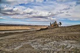
Whitewood Mine Closure
Resource
1665 ha has been reclaimed, including one end pit lake, numerous wetland features, woodland/wildlife areas revegetated through assisted natural recovery and perennially cropped agricultural lands
