
Search Results
Displaying:
1 - 7 of 7
Canadian Wetland Inventory Activities in the Prairie and Boreal Regions of Canada
Event
Event Date and Time
August 30th, 2023 at 2:00pm EST to August 30th, 2023 at 3:00pm EST
Contact
Organization
The Wetland Mapping Consortium (WMC), founded in 2008, is an interdisciplinary group of wetland scientists and managers interested in mapping and monitoring wetlands with remotely sensed images and/or...

Establishment of Trees and Shrubs on Mined Land in the Grande Cache Area
Resource
The Terrain Sciences Department of the Alberta Research Council has been conducting a reclamation research program at the operations of Smoky River Coal Limited in the Grande Cache area since 1972...

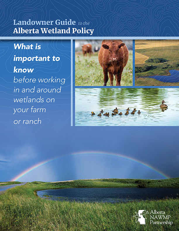
Landowner Guide to the Alberta Wetland Policy
Resource
The Landowner Guide to the Alberta Wetland Policy helps landowners understand their rights and responsibilities when working in and around wetlands on their farm or ranch under Alberta’s Wetland...

Mapping and Monitoring Peatland Conditions from Global to Field Scale
Resource
Peatlands cover only 3–4% of the Earth’s surface, but they store nearly 30% of global soil carbon stock. This significant carbon store is under threat as peatlands continue to be degraded at alarming...

NEW GUIDE: Alberta NAWMP releases the Landowner Guide to the Alberta Wetland Policy
News
Organization
The Landowner Guide to the Alberta Wetland Policy helps landowners understand their rights and responsibilities when working in and around wetlands on their farm or ranch under Alberta’s Wetland...
Two Decades of Reclamation Research in the Subalpine Region of Alberta
Resource
The Alberta Research Council has conducted a surface mine reclamation research program in association with the operations of Smoky River Coal Ltd. near Grande Cache, Alberta since 1972. The main...
