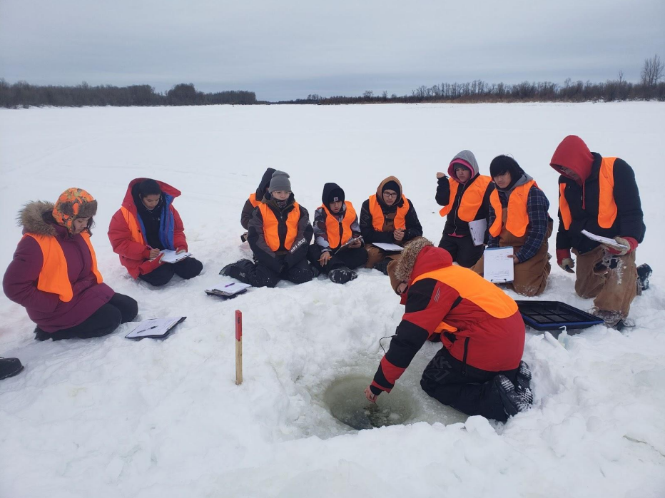
This article describes the community-based climate monitoring and fish habitat protection programs that Prince Albert Grand Council (PAGC) is undertaking. PAGC trains their youth in science and...
Bi-temporal LiDAR data used to identify correspondence between density of anthropogenic disturbances, wetland shape complexity and changes in vegetation height within >1800 wetlands near Fort McKay
Project Description: Biigtigong Nishnaabeg has developed a (draft) caribou Stewardship Plan for its traditional territory, which includes a portion of the Lake Superior Caribou Range and the...