A draft Excess Soil Reuse Guidance document from the Canadian Council of Ministers of the Environment is available for public review and comment until January 3, 2023. It is available in both English...
Project demonstrated that high-spatial-resolution satellite imagery could be used to develop accurate land-cover classifications on reclaimed in-situ operations
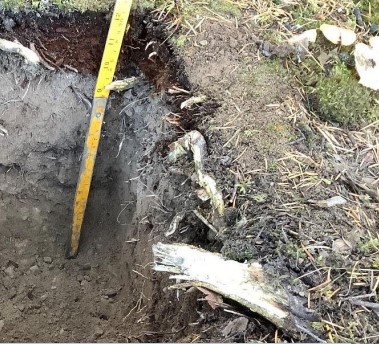
Dr. Richard McCleary draws the links between what we see in the field to the maps we have for planning and points out that the information we need for watershed assessment and riparian zones is the same.