
Search Results
Displaying:
1 - 4 of 4
High-resolution Satellite Imagery Applied to Monitoring Revegetation of Oil-sands-exploration Well Pads
Resource
Project demonstrated that high-spatial-resolution satellite imagery could be used to develop accurate land-cover classifications on reclaimed in-situ operations

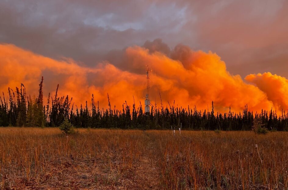
Indigenous-led Climate Research Station Rebuilds After October Wildfire
News
Organization
In October 2022, Scotty Creek Research Station—a prominent climate research facility in the Northwest Territories (NWT) of Canada located within a wetland complex—was almost entirely consumed by an...
Two-Eyed Seeing and Other Lessons Learned Within a Co-Learning Journey of Bringing Together Indigenous and Mainstream Knowledges and Ways of Knowing
Resource
This is a process article for weaving indigenous and mainstream knowledges within science educational curricula and other science arenas, assuming participants include recognized holders of...
