Search Results
Displaying:
1 - 6 of 6
Evaluation of Approaches to Depicting First Nations, Inupiat and Inuvialuit Environmental Information in GIS Format: Options for the Handling of Spatial Information in the Arctic Borderlands Ecological Knowledge Co-Op Database
Project
Organization:
This Master's project documented an evaluation of the spatial utility of the Arctic Borderlands Ecological Knowledge Co-op database and the many steps that are involved in the collection, storage, and...

Evaluation of Approaches to Depicting First Nations, Inupiat and Inuvialuit Environmental Information in GIS Format: Options for the Handling of Spatial Information in the Arctic Borderlands Ecological Knowledge Co-Op Database
Resource
Abstract As the pace of climate change continues to accelerate in the North, traditional environmental knowledge systems are increasingly recognized by researchers, land use planners, government...

From Felt Tip to Technology: The Challenges of Representing Traditional Knowledge in a GIS Platform to Create a Knowledge Surface
Project
Organization:
This project explored the challenges of representing Traditional Knowledge using western technologies, and the application of fuzzy methodologies for improving the representation. Inuit Elders and...
From Felt Tip to Technology: The Challenges of Representing Traditional Knowledge in a GIS Platform to Create a Knowledge Surface
Resource
Abstract Traditional knowledge (TK) has been the keystone to survival in the Arctic for thousands of years. Caribou are integral to the society, health and culture of the Inuit, the Indigenous peoples...
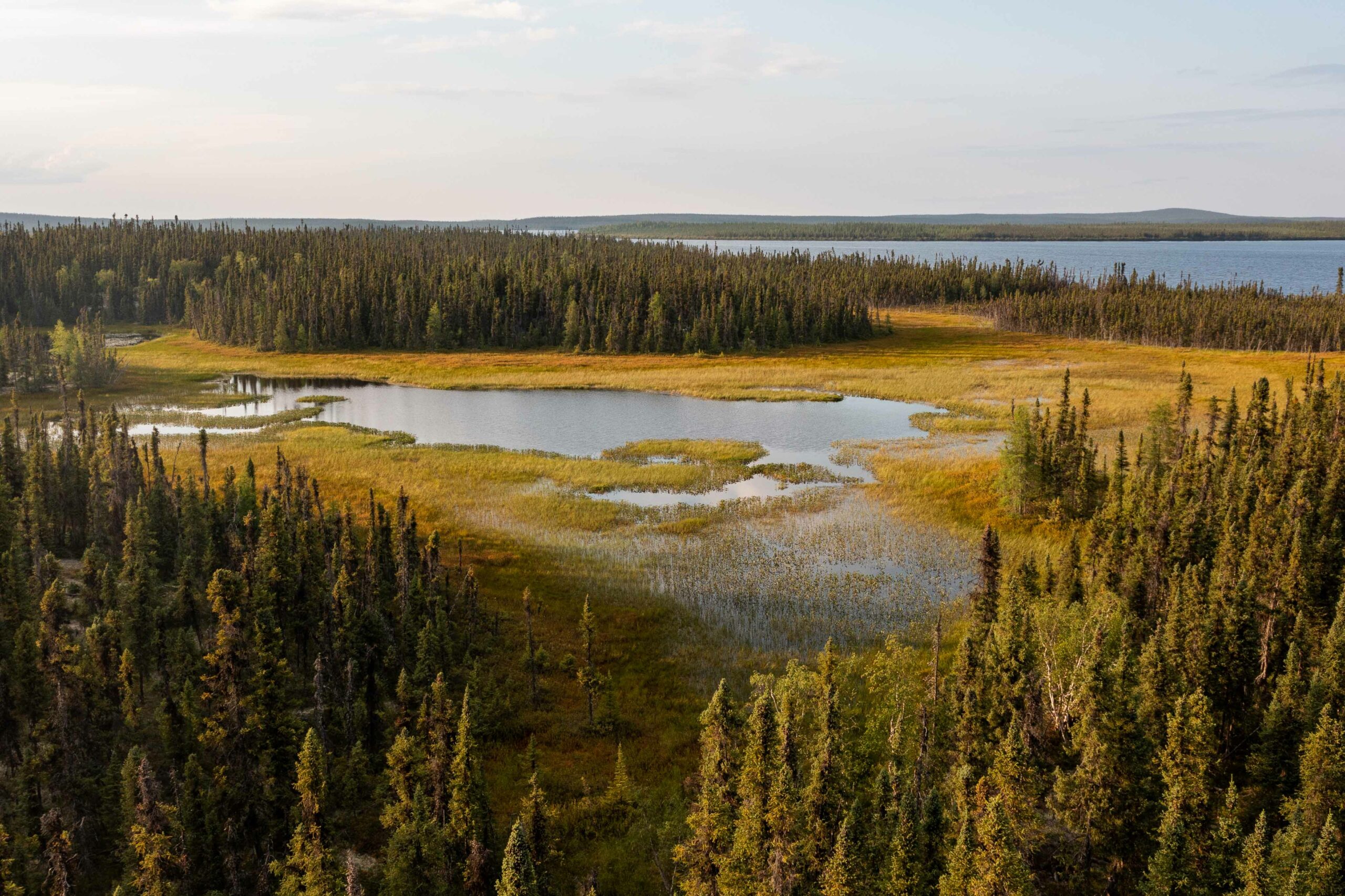
Seal River Watershed to be Canada's Largest Terrestrial IPCA
News
Organization
The 50,000-square-kilometre Seal River watershed in northern Manitoba is one of the largest ecologically intact watersheds in the world. Teeming with biodiversity, its conservation value is almost...