Search Results
Displaying:
1 - 5 of 5
Can Plant or Lichen Natural Abundance 15N Ratios Indicate the Influence of Oil Sands N Emissions on Bogs?
Resource
The 140,329 km 2 Athabasca Oil Sands Administrative Area (OSAA), which contains 8982 km 2 of bogs. Since the late 1970s, N emissions from oil sands development in the OSAA have steadily increased...

Canadian Wetland Inventory Activities in the Prairie and Boreal Regions of Canada
Event
Event Date and Time
August 30th, 2023 at 2:00pm EST to August 30th, 2023 at 3:00pm EST
Contact
Organization
The Wetland Mapping Consortium (WMC), founded in 2008, is an interdisciplinary group of wetland scientists and managers interested in mapping and monitoring wetlands with remotely sensed images and/or...

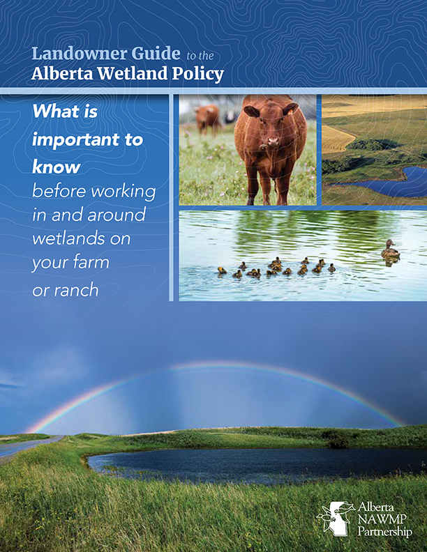
Landowner Guide to the Alberta Wetland Policy
Resource
The Landowner Guide to the Alberta Wetland Policy helps landowners understand their rights and responsibilities when working in and around wetlands on their farm or ranch under Alberta’s Wetland...

NEW GUIDE: Alberta NAWMP releases the Landowner Guide to the Alberta Wetland Policy
News
Organization
The Landowner Guide to the Alberta Wetland Policy helps landowners understand their rights and responsibilities when working in and around wetlands on their farm or ranch under Alberta’s Wetland...