
Search Results
Displaying:
1 - 9 of 9
Canadian Wetland Inventory Activities in the Prairie and Boreal Regions of Canada
Event
Event Date and Time
August 30th, 2023 at 2:00pm EST to August 30th, 2023 at 3:00pm EST
Contact
Organization
The Wetland Mapping Consortium (WMC), founded in 2008, is an interdisciplinary group of wetland scientists and managers interested in mapping and monitoring wetlands with remotely sensed images and/or...

Erasing Anthropogenic Disturbance: Natural Revegetation of Linear Features Following Wildfire, and the Implications for Woodland Caribou (Rangifer tarandus caribou) Habitat Management
Resource
The federal recovery strategy for woodland caribou identifies wildfires within the last 40 years and anthropogenic disturbance visible at a scale of 1:50,000, including a 500-m buffer, as disturbed...

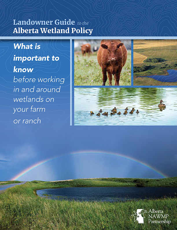
Landowner Guide to the Alberta Wetland Policy
Resource
The Landowner Guide to the Alberta Wetland Policy helps landowners understand their rights and responsibilities when working in and around wetlands on their farm or ranch under Alberta’s Wetland...

Mapping and Monitoring Peatland Conditions from Global to Field Scale
Resource
Peatlands cover only 3–4% of the Earth’s surface, but they store nearly 30% of global soil carbon stock. This significant carbon store is under threat as peatlands continue to be degraded at alarming...

NEW GUIDE: Alberta NAWMP releases the Landowner Guide to the Alberta Wetland Policy
News
Organization
The Landowner Guide to the Alberta Wetland Policy helps landowners understand their rights and responsibilities when working in and around wetlands on their farm or ranch under Alberta’s Wetland...
Using LiDAR, Colour Infrared Imagery, and Ground Truth Data for Mapping and Characterizing Vegetation Succession on Disturbance Types: Implications for Woodland Caribou (Rangifer tarandus caribou) Habitat Management
Resource
Woodland caribou (Rangifer tarandus caribou) occur throughout Canada’s boreal forest and have been declining both in distribution and population size along the southern extent of their range...
Vegetation Recovery on Low Impact Seismic Lines in Alberta's Oil Sands and Visual Obstruction of Wolves (Canis lupus) and Woodland Caribou (Rangifer tarandus caribou)
Resource
Low-Impact Seismic (LIS) exploration techniques are being increasingly used in northeastern Alberta, Canada to explore for in-situ oil sands deposits. These narrow (2-4-m wide), meandering man-made...