Search Results
Displaying:
1 - 6 of 6
Canadian Wetland Inventory Activities in the Prairie and Boreal Regions of Canada
Event
Event Date and Time
August 30th, 2023 at 2:00pm EST to August 30th, 2023 at 3:00pm EST
Contact
Organization
The Wetland Mapping Consortium (WMC), founded in 2008, is an interdisciplinary group of wetland scientists and managers interested in mapping and monitoring wetlands with remotely sensed images and/or...

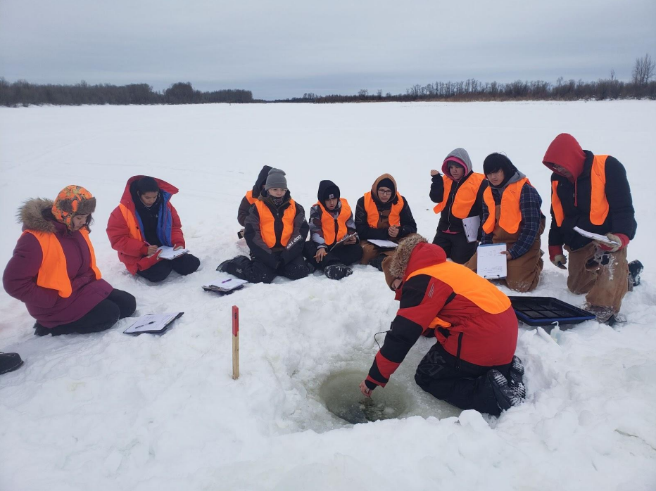
Indigenous Communities in Northern SK are Taking Action to Mitigate Climate Change Effects
Resource
This article describes the community-based climate monitoring and fish habitat protection programs that Prince Albert Grand Council (PAGC) is undertaking. PAGC trains their youth in science and...
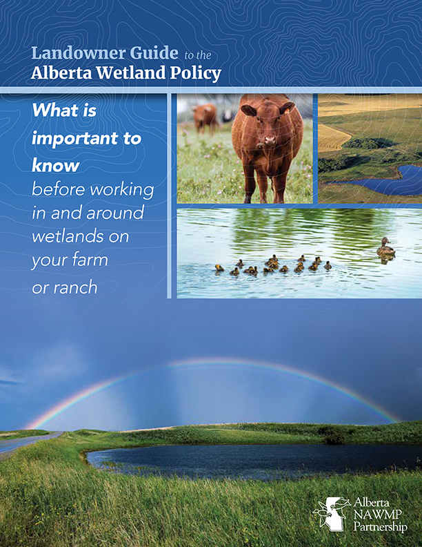
Landowner Guide to the Alberta Wetland Policy
Resource
The Landowner Guide to the Alberta Wetland Policy helps landowners understand their rights and responsibilities when working in and around wetlands on their farm or ranch under Alberta’s Wetland...

Mapping and Monitoring Peatland Conditions from Global to Field Scale
Resource
Peatlands cover only 3–4% of the Earth’s surface, but they store nearly 30% of global soil carbon stock. This significant carbon store is under threat as peatlands continue to be degraded at alarming...

NEW GUIDE: Alberta NAWMP releases the Landowner Guide to the Alberta Wetland Policy
News
Organization
The Landowner Guide to the Alberta Wetland Policy helps landowners understand their rights and responsibilities when working in and around wetlands on their farm or ranch under Alberta’s Wetland...