
Search Results
Displaying:
1 - 4 of 4
High-resolution Satellite Imagery Applied to Monitoring Revegetation of Oil-sands-exploration Well Pads
Resource
Project demonstrated that high-spatial-resolution satellite imagery could be used to develop accurate land-cover classifications on reclaimed in-situ operations

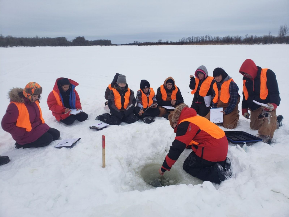
Indigenous Communities in Northern SK are Taking Action to Mitigate Climate Change Effects
Resource
This article describes the community-based climate monitoring and fish habitat protection programs that Prince Albert Grand Council (PAGC) is undertaking. PAGC trains their youth in science and...
Prompt Rewetting of Drained Peatlands Reduces Climate Warming Despite Methane Emissions
Resource
Peatlands are strategic areas for climate change mitigation because of their matchless carbon stocks. Drained peatlands release this carbon to the atmosphere as carbon dioxide (CO2). Peatland...
