Search Results
Displaying:
1 - 6 of 6
Measuring Vegetation Height in Linear Disturbances in the Boreal Forest with UAV Photogrammetry
Resource
Monitoring vegetation recovery typically requires ground measurements of vegetation height, which is labor-intensive and time-consuming. Recently, unmanned aerial vehicles (UAVs) have shown great...
Satellite Determination of Peatland Water Table Temporal Dynamics by Localizing Representative Pixels of A SWIR-Based Moisture Index
Resource
The OPtical TRApezoid Model (OPTRAM) is a physically-based approach for remote soil moisture estimation. OPTRAM is based on the response of short-wave infrared (SWIR) reflectance to vegetation water...

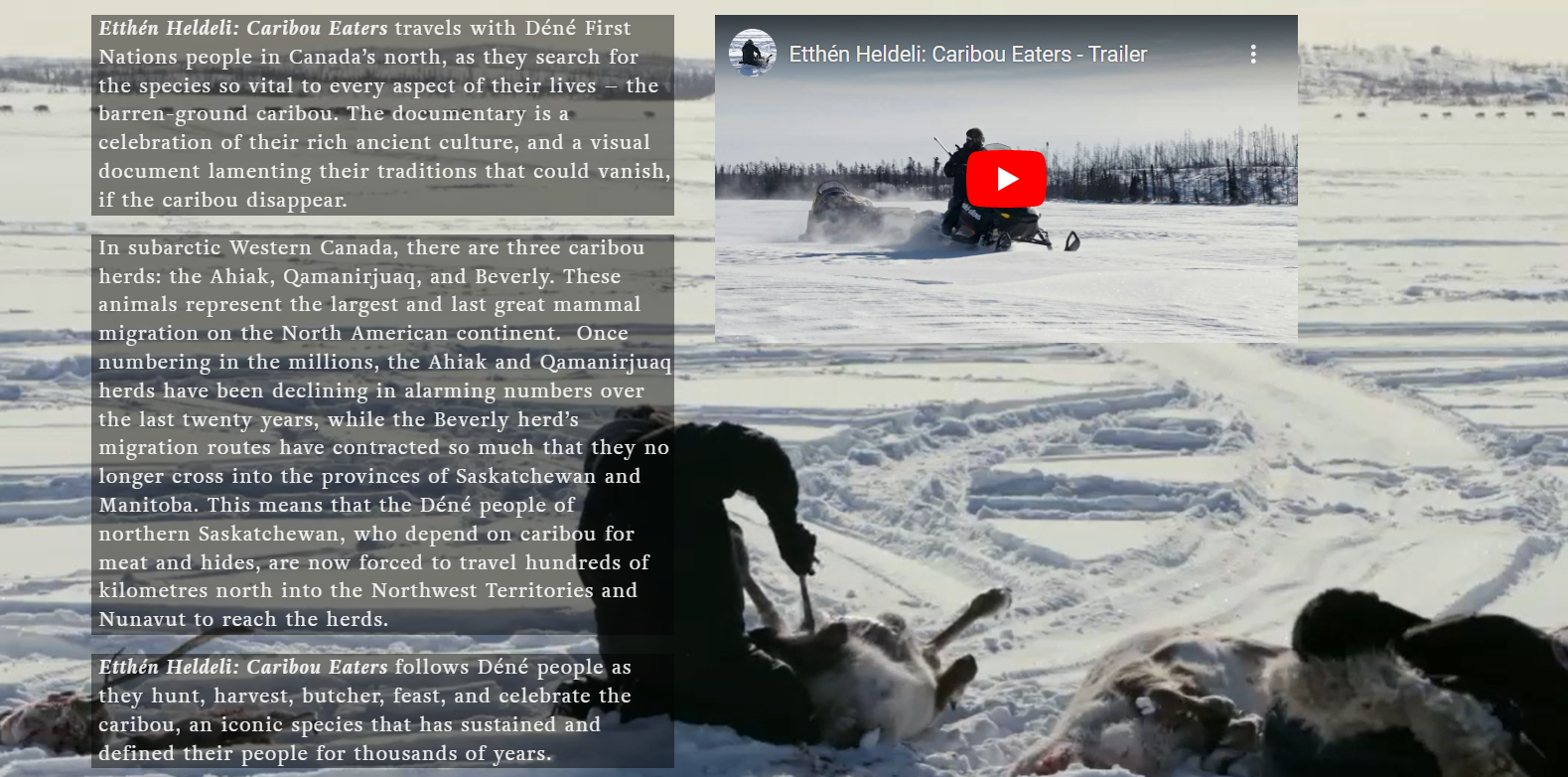
Video - Caribou Eaters
Resource
The Etthén Heldeli (Caribou Eaters) documentary produced in 2018 follows Dene caribou hunters who rely on the Ahiak, Qamanirjuaq, and Beverly herds. This website contains several resources associated...