Bi-temporal LiDAR data used to identify correspondence between density of anthropogenic disturbances, wetland shape complexity and changes in vegetation height within >1800 wetlands near Fort McKay
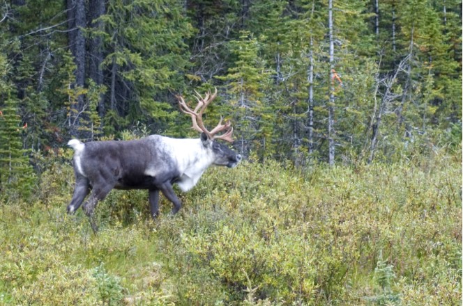
Conservation actions directed at the proximate cause of caribou decline have been more successful in the near term than those directed further along the trophic chain.