
Search Results
Displaying:
1 - 4 of 4
Motorized Activity on Legacy Seismic Lines: A Predictive Modeling Approach to Prioritize Restoration Efforts
Resource
Natural regeneration of seismic lines, cleared for hydrocarbon exploration, is slow and often hindered by vegetation damage, soil compaction, and motorized human activity. There is an extensive...

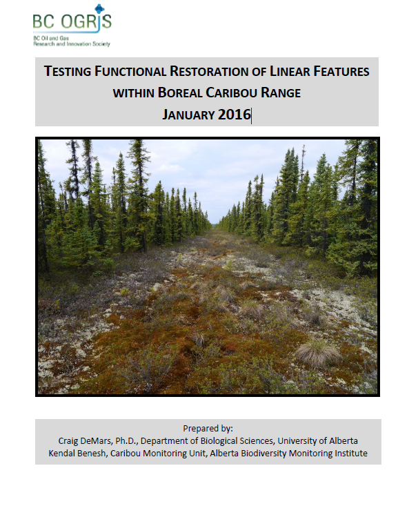
Testing Functional Restoration of Linear Features within Boreal Caribou Range
Resource
The boreal ecotype of woodland caribou ( Rangifer tarandus caribou) is provincially Red-listed in British Columbia and federally listed as Threatened. Population declines of boreal caribou have been...
Video - Riparian Vegetation: Identifying Boundaries and Quantifying Structure using LiDAR
Resource
Jay Mills, Vegetation Data Specialist with Jeodesy GIS, talks about LiDAR data and interpreting it for riparian vegetation.
