
Search Results
Displaying:
1 - 5 of 5
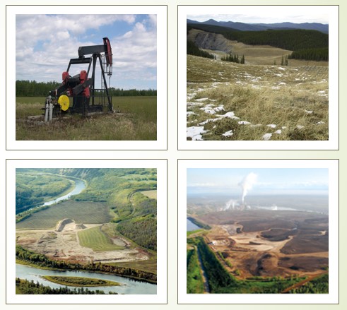
Natural Recovery on Low Impact Seismic Lines in Northeast British Columbia
Resource
WSP Golder (formerly Golder Associates Ltd) and Explor were supported by the Research and Effectiveness Monitoring Board (REMB) of the BCIP initiative, with funding provided by the BC Oil and Gas...

Pinpoint Allows Seismic to go Lineless
Resource
If you live in western Canada chances are you’ve seen a seismic line. Narrow corridors cut through the bush, seismic lines facilitate access for people and equipment to conduct geophysical surveys to...

Towards a Shared Foundation for Innovation and Evolution
Resource
At the 2023 Alberta Chapter, Canadian Land Reclamation Association annual conference, Chris Powter, Tanya Richens, Andy Etmanski, Amanda Schoonmaker, and Dean MacKenzie participated in a panel...
Video - A Drainage Network Model for Regional-scale Land-use Planning in Alberta's Foothills
Resource
Dr. Richard McCleary draws the links between what we see in the field to the maps we have for planning and points out that the information we need for watershed assessment and riparian zones is the same.
