Search Results
Displaying:
1 - 7 of 7
Improving the Fire Weather Index System for Peatlands using Peat-Specific Hydrological Input Data
Resource
The Canadian Fire Weather Index (FWI) system, even though originally developed and calibrated for an upland Jack pine forest, is used globally to estimate fire danger for any fire environment. However...

Jonas Mortelmans
Contact
Organization
Position Title
PhD Researcher (Earth and Environmental Sciences)
Satellite Determination of Peatland Water Table Temporal Dynamics by Localizing Representative Pixels of A SWIR-Based Moisture Index
Resource
The OPtical TRApezoid Model (OPTRAM) is a physically-based approach for remote soil moisture estimation. OPTRAM is based on the response of short-wave infrared (SWIR) reflectance to vegetation water...

Video - Lessons Learned from Collaborative Land Use Planning in the Northwest Territories
Resource
This talk describes the lands within the Wek’èezhìi Management Area and their importance to the Tłįchǫ, the planning process to develop the resilient Tłįchǫ Wenek’e as well as the lessons learned.

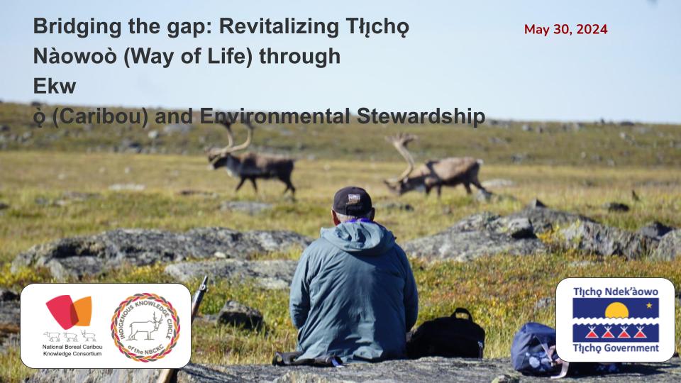
Webinar - Bridging the gap: Revitalizing Tłı̨chǫ Nàowoò (Way of Life) through Ekwǫ̀ (caribou) and Environmental Stewardship
Event
Event Date and Time
May 30th, 2024 at 1:00pm EST to May 30th, 2024 at 2:30pm EST
Contact
The Indigenous Knowledge Circle of the National Boreal Caribou Knowledge Consortium invites you to hear about Tłı̨chǫ's self-government and the stewardship they are doing. Ekwǫ̨̀̀ Nàxoèhdee K’è...
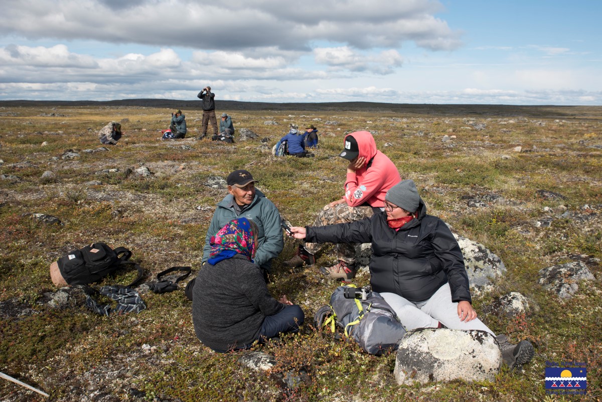
Webinar - Bridging the gap: Revitalizing Tłı̨chǫ Nàowoò (Way of Life) through Ekwǫ̀ (caribou) and Environmental Stewardship
Resource
This video is a recording of a presentation about Tłı̨chǫ's self government and the stewardship they are doing. Hosted by Amanda Sheedy of the National Boreal Caribou Knowledge Consortium's Indigenous...