
Search Results
Displaying:
81 - 100 of 289
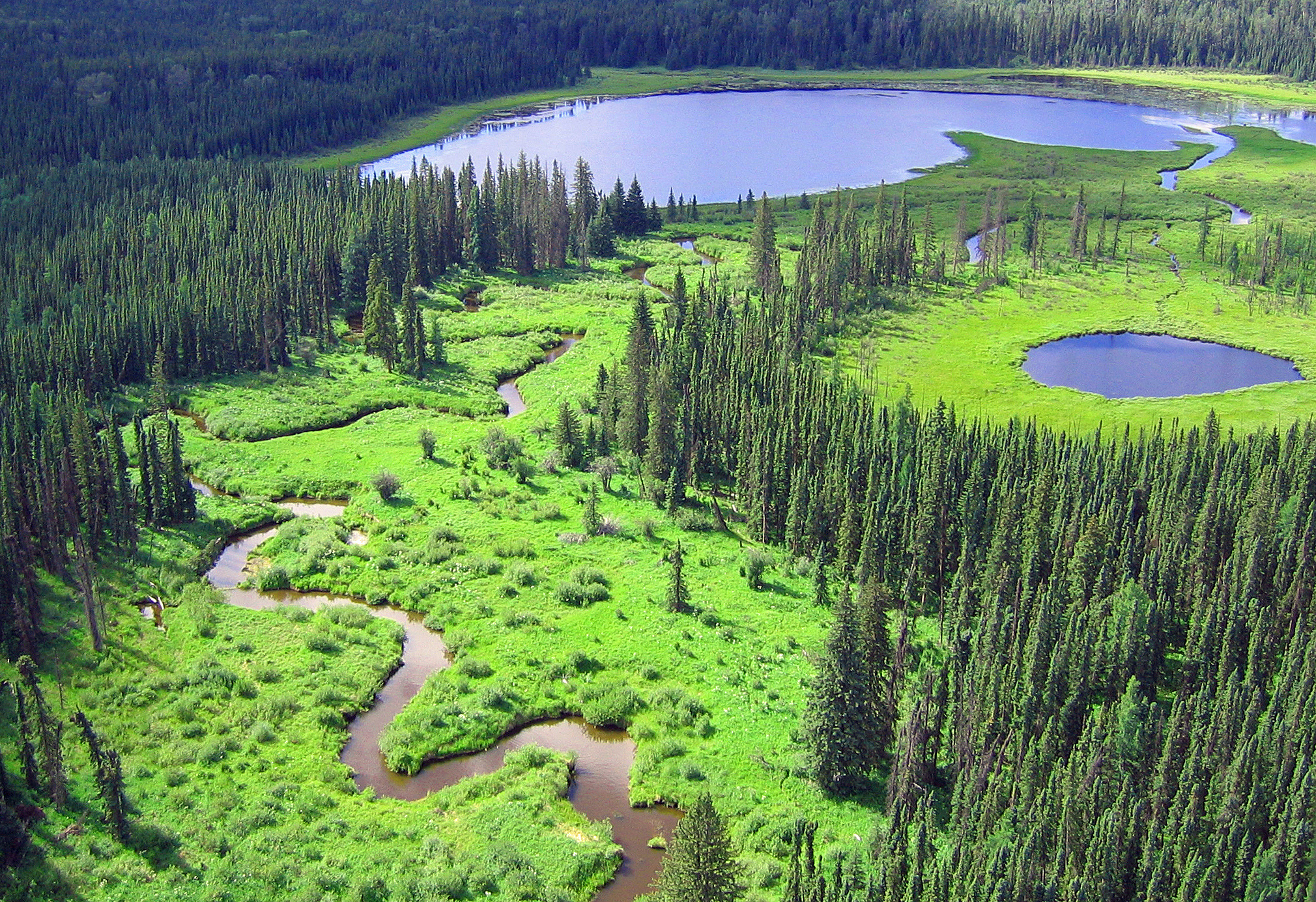
Circulation of Water and Sediment in the Athabasca Delta Area
Resource
Describe how water and sediment from the Athabasca River are distributed through the delta system and how they circulate and mix in Lake Athabasca and flow through to the Slave River (re contaminants)

Climate, Land Cover and Topography: Essential Ingredients in Predicting Wetland Permanence
Resource
Wetlands in the Prairie Pothole Region (PPR) are forecast to retract in their ranges due to climate change, and potholes that typically contain ponded water year-round, which support a larger...

Climatological Analysis of Recent Data from the Athabasca Oil Sands Area
Resource
Climatological analysis of recent data from the MAPS network of automatic meteorological data acquisition, forestry lookout stations, minisondes, pack surveys, and the Fort McMurray station

CO2 Uptake Decreased and CH4 Emissions Increased in First Two Years of Peatland Seismic Line Restoration
Resource
This resource is available on an external database and may require a paid subscription to access it. It is included on the CCLM to support our goal of capturing and sharing the breadth of all...
Consistent but Delayed Timing of Precipitation Affects Community Composition of Prairie Pothole Birds and Aquatic Macroinvertebrates, but not Wetland Plants
Resource
The hydroperiod (i.e., the length of time ponded water is present) of prairie potholes is sensitive to climate change. Because snowmelt runoff is the largest contributor to ponded water amounts, a...

Control of Small Mammals on Reclamation Areas in the AOSERP Study Area
Resource
Control rodent damage by: (1) Planting trees and shrubs when rodent numbers are at the low or declining phase of their cycle, and (2) Manipulating rodent numbers by manipulating vegetative cover.

Controls on Plot-Scale Growing Season CO2 and CH4 Fluxes in Restored Peatlands: Do They Differ From Unrestored and Natural Sites?
Resource
This resource is available on an external database and may require a paid subscription to access it. It is included on the CCLM to support our goal of capturing and sharing the breadth of all...

Deposition of Sulphur and its Influence on Soils in the AOSERP Study Area
Resource
Several field investigations were carried out to determine the amounts of sulphur deposited in rain, in rain washing off trees, and by direct absorption of SO2 by soil

Developing Allometric Equations for Estimating Shrub Biomass in a Boreal Fen
Resource
This study develops allometric equations for three dominant genera found in boreal fens: Alnus spp. (alder), Salix spp. (willow) and Betula pumila (bog birch).
Differences in the Composition of Soils Under Open and Canopy Conditions at Two Sites Close-in to the Great Canadian Oil Sands Operation, Fort McMurray, Alberta
Resource
Soils sampled at sites 2.3 and 5.3 km south of the Great Canadian Oil Sands (GCOS) plant, Fort McMurray, respectively were found to differ statistically with reference to several macronutrients

Disconnectivity Matters: The Outsized Role of Small Ephemeral Wetlands in Landscape-scale Nutrient Retentions
Resource
Wetlands protect downstream waters by filtering excess nitrogen (N) generated from agricultural and urban activities. Small ephemeral wetlands, also known as geographically isolated wetlands (GIWs)...
Distribution, Abundance and Habitat Associations of Beavers, Muskrats, Mink and River Otters in the AOSERP Study Area, Northeastern Alberta
Resource
Synthesis of the published literature on the habitat preferences of beavers, muskrats, mink and river otters. Field studies during the late autumn of 1978 included aerial surveys and track counts

Drivers, Pressures, and State Responses to Inform Long-term Oil Sands Wetland Monitoring Program Objectives
Resource
Boreal peatlands provide numerous ecosystem services ranging from carbon sequestration to the provisioning of habitat for species integral to Indigenous communities. In the Oil Sands Region of Alberta...
Ecohydrological Interactions in a Boreal Fen–swamp Complex, Alberta, Canada
Resource
This resource is available on an external database and may require a paid subscription to access it. It is included on the CCLM to support our goal of capturing and sharing the breadth of all...
Ecological Bench-marking and Biomonitoring for Detection of Airborne Pollutant Effects on Vegetation and Soils
Resource
There was only very limited evidence of biological responses to increased pollutant content in spite of significantly higher pollutant levels in tissues close to existing industrial developments.

Ecological Habitat Mapping of the AOSERP Study Area: Phase 1
Resource
Classification system devised for mapping vegetation and surficial geology from 1:60,000 scale false colour infrared photographs; 1:50 000 base maps plus a vegetation and a surficial geology overlay

Ecological Habitat Mapping of the AOSERP Study Area (Supplement): Phase 1
Resource
Ground surveys of vegetation and surficial geology generally confirmed that the classification systems used in the mapping accurately described and defined the ecological habitat features

Ecological Studies of the Aquatic Invertebrates of the Alberta Oil Sands Environmental Research Program Study Area of Northeastern Alberta
Resource
Describe basic ecology of aquatic benthic macrofauna of the Athabasca River and its major tributaries, the Muskeg and Steepbank rivers
