
Search Results
Displaying:
1 - 7 of 7
Canadian Wetland Inventory Activities in the Prairie and Boreal Regions of Canada
Event
Event Date and Time
August 30th, 2023 at 2:00pm EST to August 30th, 2023 at 3:00pm EST
Contact
Organization
The Wetland Mapping Consortium (WMC), founded in 2008, is an interdisciplinary group of wetland scientists and managers interested in mapping and monitoring wetlands with remotely sensed images and/or...

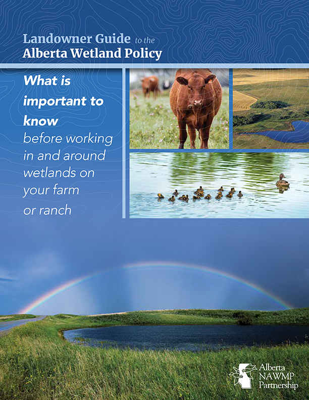
Landowner Guide to the Alberta Wetland Policy
Resource
The Landowner Guide to the Alberta Wetland Policy helps landowners understand their rights and responsibilities when working in and around wetlands on their farm or ranch under Alberta’s Wetland...

Near-surface Controls on Peatland Hydrology: Implications for Rapid Disturbance Adaptation and Enhanced Resilience to Disturbance
Resource
Northern peatlands faced compounding disturbances that transformed such critical ecosystems from long-term carbon sinks into carbon sources. Considerable investment is therefore directed for restoring...

NEW GUIDE: Alberta NAWMP releases the Landowner Guide to the Alberta Wetland Policy
News
Organization
The Landowner Guide to the Alberta Wetland Policy helps landowners understand their rights and responsibilities when working in and around wetlands on their farm or ranch under Alberta’s Wetland...
Plant Functional Traits as Indicator of the Ecological Condition of Wetlands in the Grassland and Parkland of Alberta, Canada
Resource
The analysis of functional trait-habitat relationships has been used to measure the degree to which environmental factors influence the assembly of ecological communities. In the Parkland and...
Using GIS and Remote Sensing to Monitor Industrial Impacts to Archaeological Sites in the Athabasca Oil Sands of Alberta
Resource
The Athabasca Oil Sands (AOS) region of Alberta has one of the densest accumulations of known archaeological sites, and possibly the most archaeological sites at risk, in the country. Expanding...
