
Search Results
Displaying:
1 - 7 of 7
Canadian Wetland Inventory Activities in the Prairie and Boreal Regions of Canada
Event
Event Date and Time
August 30th, 2023 at 2:00pm EST to August 30th, 2023 at 3:00pm EST
Contact
Organization
The Wetland Mapping Consortium (WMC), founded in 2008, is an interdisciplinary group of wetland scientists and managers interested in mapping and monitoring wetlands with remotely sensed images and/or...

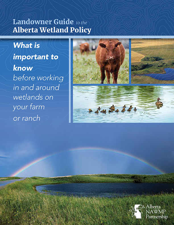
Landowner Guide to the Alberta Wetland Policy
Resource
The Landowner Guide to the Alberta Wetland Policy helps landowners understand their rights and responsibilities when working in and around wetlands on their farm or ranch under Alberta’s Wetland...

Learning from our Elders - Northern Indigenous perspectives on climate and environmental change
Project
Contact
Organization:
Project Description: The project was a short-term research exchange between Indigenous communities and scholars in Canada and Sweden, comparing Elder's perspectives on changing environments and...

Learning from our Elders: Aboriginal Perspectives on Climate Change and Reindeer/Caribou Habitat in the Circumboreal Forest
Resource
Excerpt from resource description: The northernmost regions in the world are projected to suffer the most severe consequences of climate change. Natural resource-based communities and Indigenous...

NEW GUIDE: Alberta NAWMP releases the Landowner Guide to the Alberta Wetland Policy
News
Organization
The Landowner Guide to the Alberta Wetland Policy helps landowners understand their rights and responsibilities when working in and around wetlands on their farm or ranch under Alberta’s Wetland...
Shrub Changes with Proximity to Anthropogenic Disturbance in Boreal Wetlands Determined Using Bi-temporal Airborne LiDAR in the Oil Sands Region, Alberta Canada
Resource
Bi-temporal LiDAR data used to identify correspondence between density of anthropogenic disturbances, wetland shape complexity and changes in vegetation height within >1800 wetlands near Fort McKay
