
Search Results
Displaying:
1 - 4 of 4
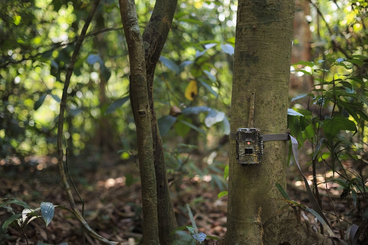
Camera Traps: Getting Started with MegaDetector
Resource
Conservation biologists invest a huge amount of time reviewing camera trap images, and – even worse – a huge fraction of that time is spent reviewing images they aren't interested in. This primarily...
High-resolution Satellite Imagery Applied to Monitoring Revegetation of Oil-sands-exploration Well Pads
Resource
Project demonstrated that high-spatial-resolution satellite imagery could be used to develop accurate land-cover classifications on reclaimed in-situ operations

Mapping and Monitoring Peatland Conditions from Global to Field Scale
Resource
Peatlands cover only 3–4% of the Earth’s surface, but they store nearly 30% of global soil carbon stock. This significant carbon store is under threat as peatlands continue to be degraded at alarming...
