
Search Results
Displaying:
1 - 8 of 8
Developing a Reclamation Costing Framework for the Athabasca Oil Sands
Resource
The Athabasca oil sands are a significant component of the economy in Alberta. However, they also represent a large environmental risk. At the end of mining operations, companies are expected to begin...

Extending the National Burned Area Composite Time Series of Wildfires in Canada
Resource
This study created a 35-year time series of wildfire burned areas in Canada from 1986 to 2020, using data from satellite imagery and aerial surveys. Wildfires are a major natural disturbance in Canada...

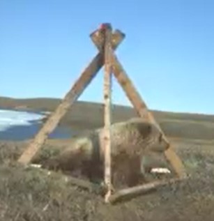
Network of Wildlife Cameras and Audio Recorders Expanded to Better Monitor Biodiversity
News
Organization
Biodiversity monitoring partners across the NWT are getting a closer look at wildlife as the Government of the Northwest Territories’ Biodiversity Monitoring Program expands. Remote cameras and audio...
Remediation of Hydrocarbon Contaminated Soils in the Canadian Arctic by Landfarming
Resource
This resource is available on an external database and may require a paid subscription to access it. It is included on the CCLM to support our goal of capturing and sharing the breadth of all...
Survivability and Growth of Winter-Planted Black Spruce (Picea mariana [Mill.] B.S.P.) Seedlings on a Boreal Fen in Northwestern Alberta, Canada
Resource
Winter planting of frozen black spruce seedlings was studied in a northern Alberta wetland supported by the Oil Sand Leadership Initiative (OSLI) Land Stewardship Working Group, comprised of...
The Multisource Vegetation Inventory (MVI): A Satellite-Based Forest Inventory for the Northwest Territories Taiga Plains
Resource
Wall-to-wall 30 m raster maps of broad forest type, stand height, crown closure, stand volume, total volume, aboveground biomass, and stand age were created for a ~400,000 km2 area, validated with independent data, and generalized into a polygon GIS layer resembling a traditional FI map. The MVI project showed that a reasonably accurate FI map for large, remote, predominantly non-inventoried boreal regions can be obtained at a low cost by combining limited field data with remote sensing data from multiple sources.
Theses - Queen's University
Project
Organization:
This community is a joint endeavour of the School of Graduate Studies and Research and the Library to make available Queen's University graduate theses and projects in electronic form via the...