
Boreal Caribou Search Results
Boreal Caribou Search Results
Displaying:
2121 - 2140 of 2677
To narrow down your search results use the filters at left to find Contacts, active Projects, specific resource Formats, News & Events or, for example view only resources from a specific Organization, or about specific Disturbance Types.
The 2023 Wildfire Season in Québec: An Overview of Extreme Conditions, Impacts, Lessons Learned and Considerations for the Future
Resource
Abstract The 2023 wildfire season in Québec set records due to extreme warm and dry conditions, burning 4.5 million hectares and indicating persistent and escalating impacts associated with climate...
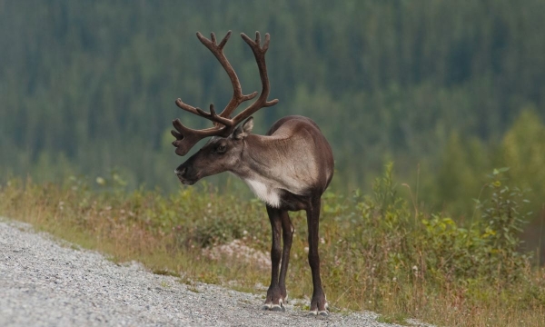
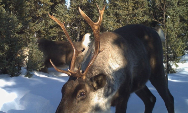
The Alberta Boreal Deer Project
Project
Contact
Alberta’s woodland caribou populations are declining, and wolf predation is considered a primary cause (Wittmer et al. 2005). Predation increases where seismic line density is high (ASRD 2010), so...
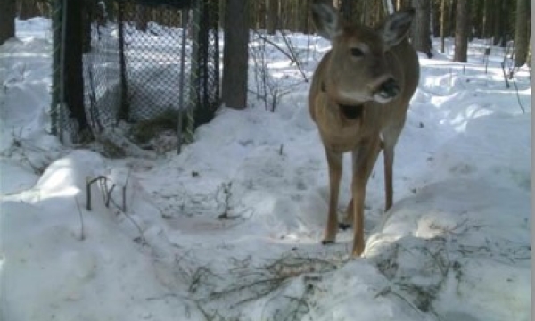
The Alberta Boreal Deer Project: 2013 Report to PTAC
Resource
Woodland caribou are declining in Alberta’s northeast, and increased predation following elevated wolf densities is implicated. Wolf numbers are increasing in part due to white-tailed deer, which...
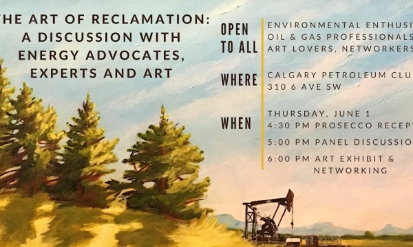
The ART of Reclamation: A Discussion with Energy Advocates, Experts and Art
Event
Event Date and Time
June 1st, 2023 at 4:30pm MST to June 1st, 2023 at 7:30pm MST
Calgary, AB
Organization
Join energy advocates, experts and artists in a panel discussion and networking session to communicate reclamation success stories. Get ready for an innovative discussion on how the oldest form of...

The Boreal Caribou Ecological Model
Project
The Boreal Caribou Ecological Model Developed by the Habitat Restoration Working Group (HRWG) of the National Boreal Caribou Knowledge Consortium (NBCKC). Habitat restoration is expected to play a key...

The Boreal Caribou Ecological Model - Infographic
Resource
The Boreal Caribou Ecological Model is a conceptual model which illustrates the key ecosystem factors, mechanisms, pathways and interactions mediating the well known national disturbance-recruitment...

The Boreal Caribou Ecological Model - Technical Report
Resource
The Boreal Caribou Ecological Model is a conceptual model which illustrates the key ecosystem factors, mechanisms, pathways and interactions mediating the well known national disturbance-recruitment...

The Candid Caribou Project | Field Notes Vlog
Resource
Tag along with our ecosystem scientists as they recover a year's worth of wildlife trail camera photography in Wapusk National Park. Discover the challenges and intricacies of capturing accurate and...
The Caribou Habitat Restoration Fund (CHRF) Grant Applications Now Open!
News
Organization
The Habitat Conservation Trust Foundation is now accepting applications for the Caribou Habitat Restoration Fund (CHRF). This initiative aims to restore high-value habitat for caribou in British...
The Caribou (Rangifer tarandus) Genome
Resource
Paper outlines the sequencing of the genome from a male boreal caribou from Manitoba, Canada.
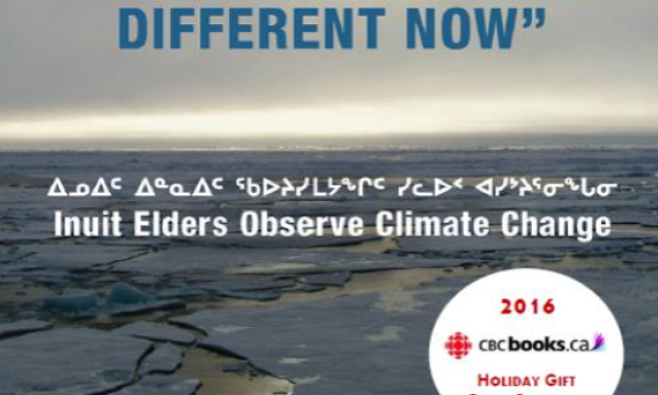
“The Caribou Taste Different Now": Inuit Elders Observe Climate Change
Resource
In full colour with photos of the 145 contributing Inuit elders, “The Caribou Taste Different Now” grounds the discussions, debates, and discourses about climate change to material and everyday life in the contemporary Canadian Arctic.
The Conservation of Caribou: Matters of Space, Time, and Scale
Resource
This is a chapter from the book, In Our Backyard. It explores the essentials of caribou ecology and conservation. Using Keeyask as a platform, the author focuses on the challenges and opportunities of...
The Decreasing Availability of Reindeer Forage in Boreal Forests During Snow Cover Periods: A Sámi Pastoral Landscape Perspective in Sweden
Resource
This paper argues that Sámi reindeer pastoralism in Sweden is highly stressed during the critical snow cover periods due to large-scale human interventions, especially forestry, and that these have...
The Density of Anthropogenic Features Explains Seasonal and Behaviour-based Functional Responses in Selection of Linear Features by a Social Predator
Resource
Anthropogenic linear features facilitate access and travel efficiency for predators, and can influence predator distribution and encounter rates with prey. We used GPS collar data from eight wolf...
