Land Management Search Results
Resource
Diesel invert wastes are one of the more difficult types of drilling mud wastes to dispose of due to the presence of hydrocarbons and salts. In 1989 a joint research program funded by the Alberta...
Resource
Authors
Dean MacKenzie
Kevin Remkema
Hand collecting vegetative propagules from surrounding pre-mined land and directly planting these propagules on post-mined land may be the only method to successfully establish key shrub species
Resource
By the fall of 1974 34 test sites had been obtained and on 27 of these at least some planting had taken place. In 1975 more small sites (see included map) were obtained and these also were planted
Resource
This Fact Sheet gives guidance regarding the use of native plant materials for revegetation of industrial developments in Alberta. A native plant is defined as a species occurring within its historic...
Resource
Authors
D. Meidinger
K.A. Baldwin
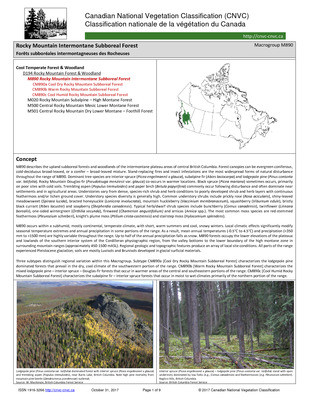
The Canadian National Vegetation Classification (CNVC) is an ecological classification of natural and semi-natural Canadian vegetation. The classification is a hierarchical taxonomy, describing...
Resource
Authors
D. Meidinger
K.A. Baldwin
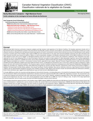
The Canadian National Vegetation Classification (CNVC) is an ecological classification of natural and semi-natural Canadian vegetation. The classification is a hierarchical taxonomy, describing...
Resource
Summary of a survey to determine the reclamation research needs of organizations/industries in Alberta that are involved with industrial disturbances and to prioritize research needs.
Resource
Authors
Chris Powter
John Hogenbirk
If you are planning or undertaking revegetation using long-lived species such as trees then you should be giving some consideration to the environment they may experience in the future
Resource
Soil microorganisms and their activities are the major vectors in the decomposition of plant litter and the subsequent transformation and flow of such essential plant nutrients as nitrogen and phospho
Resource
Effects of amendments on growth of trees and grasses and establishment of mycorrhizae in coal and oil sands reconstructed soils
Resource
Authors
InnoTech Alberta
University of Alberta
The InnoTech/UofA above ground mesocosm facility enables configurable, innovative approaches for assessing potential environmental and ecological impacts of industrial activities
Resource
This study examined three pervasive issues that impacted native ecosystems. Numerous land use practices including oil and gas activities have led to the modification of native grasslands both the...
Resource
Authors
Roger Berdusco
Anthony Milligan
Kaiser Resources Ltd. owns and operates a 5 million ton per year open pit and hydraulic coal mine near Sparwood in Southeastern British Columbia. Since 1969, Kaiser has maintained a field scale...
Resource
Authors
Paul King
G. Granger
A. Straka
The results of preliminary experiments on pre-germination treatment methods for nine selected native woody plant species for disturbed land reclamation in the Rocky Mountain Eastern Slopes of Alberta.
Resource
UAV-based remote sensing as a method for monitoring well pad recovery is determined to be feasible from a technical and field perspective.
Resource
Protocols for sampling biotic and abiotic parameters in large lakes, large rivers, wetlands, and streams in Alberta is provided. Estimates of time costs are given.
Resource
The study's purpose is to assess the nutrient self-sufficiency of five-year-old reclaimed areas in montane and subalpine environments. Adjacent, undisturbed native grasslands were also studied for...
Resource
Authors
Guillermo Castilla
Ronald Hall
Rob Skakun
Michelle Filiatrault
André Beaudoin
Michael Gartrell
Lisa Smith
Kathleen Groenewegen
Chris Hopkinson
Jurjen van der Sluijs
Resource Date:
February
2022
Wall-to-wall 30 m raster maps of broad forest type, stand height, crown closure, stand volume, total volume, aboveground biomass, and stand age were created for a ~400,000 km2 area, validated with independent data, and generalized into a polygon GIS layer resembling a traditional FI map. The MVI project showed that a reasonably accurate FI map for large, remote, predominantly non-inventoried boreal regions can be obtained at a low cost by combining limited field data with remote sensing data from multiple sources.
Resource
Authors
Kristine Haynes
Jessica Smart
Brenden Disher
Olivia Carpino
William Quinton
Resource Date:
December
2020
This resource is available on an external database and may require a paid subscription to access it. It is included on the CCLM to support our goal of capturing and sharing the breadth of all...
Resource
Authors
David Walker
R.S. Sadasiviah
Jan Weijer
Native grass species have adapted to the prevailing climatic and soil conditions of Alberta's Rocky Mountains through many years of natural selection. It is generally accepted that disturbed areas in...