Land Management Search Results
Resource
Authors
Humaira Enayetullah
Laura Chasmer
Chris Hopkinson
Daniel Thompson
Danielle Cobbaert
Seismic lines are the dominant anthropogenic disturbance in the boreal forest of the Canadian province of Alberta, fragmenting over 1900 km 2 of peatland areas and accounting for more than 80% of all...
Resource
Authors
Ian Thompson
Philip Wiebe
Erin Mallon
Arthur Rodgers
John Fryxell
James Baker
Douglas Reid
Resource Date:
November
2014
This resource is available on an external database and may require a paid subscription to access it. It is included on the CCLM to support our goal of capturing and sharing the breadth of all...
Resource
Authors
Kathy Lewis
Chris Johnson
M.D. Nayeem Karim
Resource Date:
February
2019
This resource is available on an external database and may require a paid subscription to access it. It is included on the CCLM to support our goal of capturing and sharing the breadth of all...
Resource
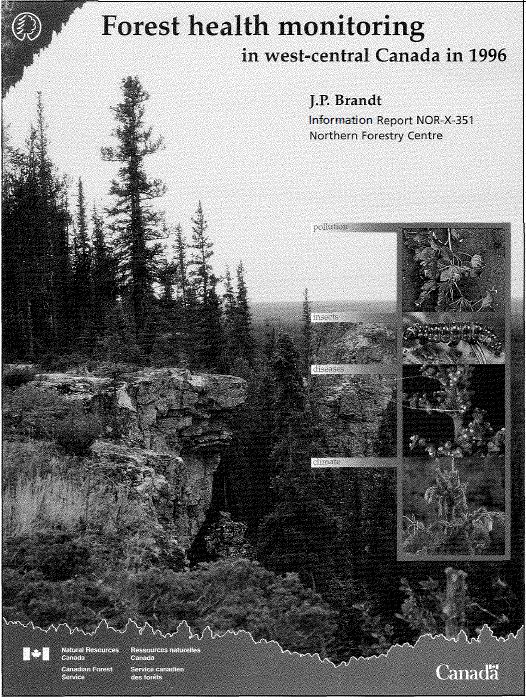
Results of forest health monitoring activities in Alberta, Saskatchewan, Manitoba, and the Northwest Territories are summarized for 1996. These results are based on assessments made on 17 permanent...
Resource
Authors
Sylvain Ménard
Marcel Darveau
Louis Imbeau
Forest inventory maps can be used to quantify the area of wetland habitats and to define homogeneous regions in this regard, and therefore provide a functional tool for coarse-scale wetland management
Resource
Authors
Terrance Power
Robert Cameron
Thomas Neily
Brad Toms
Resource Date:
April
2018
This resource is available on an external database and may require a paid subscription to access it. It is included on the CCLM to support our goal of capturing and sharing the breadth of all...
Resource
The Galena Hill Ecosystem Map (GHEM) was initially developed to provide information about existing plant communities and their growth conditions to guide upcoming reclamation efforts at the historical...
Resource
Authors
United Nations Environment Programme
Resource Date:
November
2022
Peatlands are unique and rare ecosystems that, despite only covering around 3-4% of the planet’s land surface, they contain up to one-third of the world’s soil carbon, which is twice the amount of...
Resource
Breeding bird studies using the mapping method were combined with intensive habitat quantification to determine the relative values to breeding avifauna of 21 habitat types
Resource
Authors
Oumer Ahmed
Adam Shemrock
Dominique Chabot
Chris Dillon
Griffin Williams
Rachel Wasson
Steven Franklin
Resource Date:
February
2017
This resource is available on an external database and may require a paid subscription to access it. It is included on the CCLM to support our goal of capturing and sharing the breadth of all...
Resource
Authors
Dominique Boucher
Sylvie Gauthier
Nelson Thiffault
William Marchand
Martin Girardin
Climate change is projected to increase fire severity and frequency in the boreal forest, but it could also directly affect post-fire recruitment processes by impacting seed production, germination...
Resource
Authors
S. Konkolics
Melanie Dickie
Robert Serrouya
Stan Boutin
To examine the effects of forest fires on woodland caribou, we collected GPS location data on five caribou ranges in northeastern Alberta.
Resource
Authors
Larry Turchenek
J.D. Lindsay
The emphasis in this inventory is on soils and the landforms on which they occur; both are indicated on maps. Air photo interpretation and field checking have been completed
Resource
Authors
Sini-Selina Salko
Jussi Juola
Iuliia Burdun
Harri Vasander
Miina Rautiainen
Boreal peatlands store ~25 % of global soil organic carbon and host many endangered species; however, they face degradation due to climate change and anthropogenic drainage. In boreal peatlands...
Resource
Authors
Zhan Li
Joanne White
Michael Wulder
Txomin Hermosilla
Andrew Davidson
Alexis Comber
Large-area land cover maps are produced to satisfy different information needs. Land cover maps having partial or complete spatial and/or temporal overlap, different legends, and varying accuracies...
Resource
Authors
Alberta NAWMP Partnership
The Landowner Guide to the Alberta Wetland Policy helps landowners understand their rights and responsibilities when working in and around wetlands on their farm or ranch under Alberta’s Wetland...
Resource
Authors
Jordan McNamara
James Schaefer
Guillaume Bastille-Rousseau
Shane Mahoney
Resource Date:
September
2021
This resource is available on an external database and may require a paid subscription to access it. It is included on the CCLM to support our goal of capturing and sharing the breadth of all...
Resource
Authors
Camile Sothe
Alemu Gonsamo
Joyce Arabian
James Snider
Resource Date:
August
2021
Canada has extensive forests and peatlands that play key roles in global carbon cycle. Canadian soils and peatlands are assumed to store approximately 20% of the world’s soil carbon stock. However...
Resource
Authors
Gustaf Hugelius
Julie Loisel
Sarah Chadburn
Robert Jackson
Miriam Jones
Glen MacDonald
Maija Marushchak
David Olefeldt
Maara Packalen
Matthias Siewert
Claire Treat
Merritt Turetsky
Carolina Voigt
Zicheng Yu
Resource Date:
August
2020
Northern peatlands have accumulated large stocks of organic carbon (C) and nitrogen (N), but their spatial distribution and vulnerability to climate warming remain uncertain. Here, we used machine...
Resource
Authors
Boreal Avian Modelling Project
Bioclimatic niche models of current avian distribution and density for 80 boreal-breeding songbird species are mapped based on present counts and climate change models