Land Management Search Results
Resource
Authors
Joanne White
Michael Wulder
Andrés Varhola
Mikko Vastaranta
Nicholas Coops
Bruce Cook
Doug Pitt
Murray Woods
A best practice guide brings together state-of-the-art approaches, methods, and data to provide non-experts more detailed information about complex topics. With this guide, our goal is to inform and...
Resource
Authors
Cole Burton
Dave Huggard
Erin Bayne
Jim Schieck
Péter Sólymos
Tyler Muhly
Dan Farr
Stan Boutin
Effective ecological monitoring is imperative in a human-dominated world, as our ability to manage functioning ecosystems will depend on understanding biodiversity responses to anthropogenic impacts...
Resource
Authors
Daphne Cheel
Stephen Moran
Mark Trudell
Don Thacker
Terry Macyk
Report synthesizes and summarizes 36 RRTAC reports to provide the user with a unified source of information on land and groundwater reclamation research in the plains of Alberta
Resource
Authors
Erin Bayne
Diana Stralberg
Amy Nixon
Use of ABMI samples to understand genetic variation and changes in genetic structure is identified as an area where ABMI data can be used to understand how biodiversity is adapting to climate change
Resource
Authors
Marcus Becker
Dave Huggard
Melanie Dickie
Camille Warbington
Jim Schieck
Emily Herdman
Robert Serrouya
Stan Boutin
Estimating animal abundance and density are fundamental goals of many wildlife monitoring programs. Camera trapping has become an increasingly popular tool to achieve these monitoring goals due to...
Resource
Authors
Olaf Niemann
Fabio Visintini
Changes observed in the foliage of trees killed by bark beetles are usually described in terms of stages that have been related to a specific timeframe. The “green attack” stage is the period of time...
Resource
Authors
Alberta Biodiversity Monitoring Institute
From1999 to 2015, human activity in Alberta visibly converted over 23,000 km2 of native ecosystems into residential, recreational, or industrial landscapes
Resource
Resource Date:
August
2021
With the support of Alberta Environment and Parks, the Alberta Biodiversity Monitoring Institute has become the trusted source for data about habitat, species, and the human footprint.
Resource
Authors
Alberta Biodiversity Monitoring Institute
In summer 2013 field crews spent five weeks sampling soil and vegetation indicators at 18 wellsites and adjacent reference sites in the Dry Mixedgrass subregion of Alberta
Resource
Authors
Chris Powter
Brent Scorfield
Brent Lakeman
Shane Patterson
The development of integrated geomatics and remote sensing technologies for environmental management holds promise to meet economic diversification and effective environmental management.
Resource
Authors
Magali Houde
Eva Krümmel
Tero Mustonen
Jeremy Brammer
Tanya Brown
John Chételat
Parnuna Egede Dahl
Rune Dietz
Marlene Evans
Mary Gamberg
Marie-Josée Gauthier
José Gérin-Lajoie
Aviaja Lyberth Hauptmann
Joel Heath
Dominique Henri
Jane Kirk
Brian Laird
Mélanie Lemire
Ann Lennert
Robert Letcher
Sarah Lord
Lisa Loseto
Gwyneth MacMillan
Stefan Mikaelsson
Edda Mutter
Todd O'Hara
Sonja Ostertag
Martin Robards
Vyacheslav Shad
Arctic Indigenous Peoples are among the most exposed humans when it comes to foodborne mercury (Hg). In response, Hg monitoring and research have been on-going in the circumpolar Arctic since about...
Resource
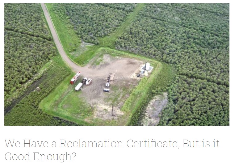
Long-term monitoring of some sites would ultimately be needed to show that recovering wellsites are on a trajectory that consistently leads to full recovery.
Resource
Authors
ERMP Project Advisory Group
Monitoring protocols for forested land wellsites to determine if a reclaimed site has returned to similar structure and function as found in a representative undisturbed reference area.
Resource
Authors
Alberta Biodiversity Monitoring Institute
Select appropriate vegetation, soil, and habitat indicators for a long-term reclamation monitoring program and provide sampling protocols for the selected indicators.
Resource
Our statistical design and the hands on learning experience we gained in the field can be applied when implementing the long-term monitoring program for certified wellsites.
Resource
Authors
Alberta Biodiversity Monitoring Institute
Three workshops were held to examine a suite of vegetation, soil, and habitat indicators that could potentially be used to monitor recovery in a long-term reclamation monitoring program
Resource
Data show that for many vegetation and soil indicators, wellsite development impacts are long lasting and may remain for 30 years or more after reclamation.
Resource
Authors
ERMP Project Advisory Group
This report provides the monitoring protocols for cultivated land wellsites.
Resource
Authors
ERMP Project Advisory Group
This report provides the monitoring protocols for forested land wellsites.
Resource
Authors
ERMP Project Advisory Group
This report provides the monitoring protocols for grassland wellsites.