The Effects of Soil Temperature and Site Preparation on Subalpine and Boreal Tree Species: A Bibliography
Resource
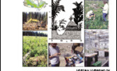
In forestry, the purpose of site preparation is to ameliorate environmental conditions which limit tree seedling survival and growth. In subalpine and boreal forests, low soil temperature in...