Land Management Search Results
Resource
Authors
Cameron Nordell
Erin Bayne
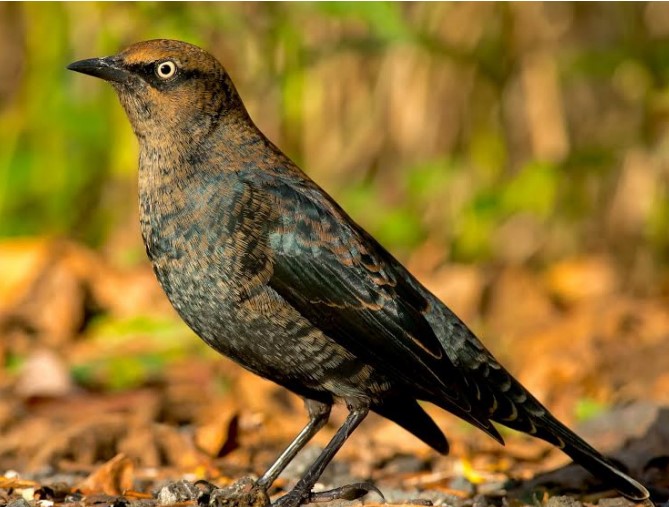
The Rusty Blackbird ( Euphagus carolinus ) was listed as Special Concern on Schedule 1 of the federal Species at Risk Act in March 2009 because of large and longterm declines in population size. The...
Resource
Authors
Anna Dabros
Kellina Higgins
Jaime Pinzon
This resource is available on an external database and may require a paid subscription to access it. It is included on the CCLM to support our goal of capturing and sharing the breadth of all...
Resource
Authors
Anne Naeth
Donna White
David Chanasyk
Terry Macyk
Chris Powter
Don Thacker
To provide coordinated direction for reclamation research in Alberta, the need to review the current understanding and the role of soil physical properties in soil disturbance related activities was...
Resource
Authors
Pedocan Land Evaluation Ltd.
Part 1 of this manual is a background and explanatory section that describes the terminology used in soil surveys and presents the assumptions and conventions upon which the interpretations are based
Resource
Authors
Pedocan Land Evaluation Ltd.
Part 2 presents typical data and interpretations for each soil series in Alberta. The interpretations were made by applying the guidelines in Part 1, and checking the results against experience
Resource
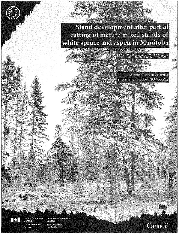
One-hundred-year-old mixed white spruce–aspen stands were partially cut in 1953, 1954, and 1955 and scarified leaving treatments that retained 14–100% of total stand basal area. Composition of the...
Resource
Authors
Alberta Biodiversity Monitoring Institute
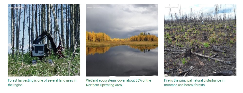
This online report describes the status of human footprint, species, and habitat in Norbord Inc.'s two main operating areas located in northwestern Alberta. This information establishes baseline...
Resource
Authors
Stan Aronoff
G.A. Ross
W.A. Ross
Figures and Tables associated with Volume 1
Resource
Authors
B.L. Barge
R.G. Humphries
S.L. Olson
The feasibility of a weather radar to map precipitation in the Alberta Oil Sands Environmental Research Program (AOSERP) study area near Fort McMurray, Alberta was investigated
Resource
Authors
Alberta Biodiversity Monitoring Institute
As of 2010, human footprint in the Active In-situ Region was 7.7%, whereas it was 20.8% in the Mineable Region. Total human footprint in all Woodland Caribou ranges increased between 2007 and 2010
Resource
Authors
Alberta Biodiversity Monitoring Institute
As of 2012, the total human footprint across the OSR was 13.8%. Energy footprint covered 2.2% of the OSR. The total human footprint in the OSR increased from 11.3% to 13.8% between 1999 and 2012.
Resource
Authors
Alberta Biodiversity Monitoring Institute
This report presents data on several indicators of environmental health for the Kakwa River Project area where ARC Resources operates in northwestern Alberta. The Kakwa River Project area covers...
Resource
Oil and gas activities in Alberta require disturbing forested lands, among other ecosystems, in order to extract resources. Due to the number of oil and gas sites requiring reclamation, monitoring can...
Resource
Authors
Amy Nixon
Christopher Shank
Dan Farr
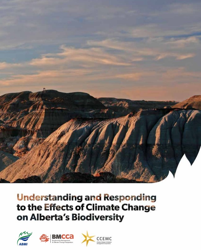
The Biodiversity Management and Climate Change Adaptation project has produced a comprehensive, evidence-based, and original examination of the effects of climate change on Alberta’s biodiversity
Resource
Authors
Jennifer Hird
Alessandro Montaghi
Gregory McDermid
Jahan Kariyeva
Brian Moorman
Scott Nielsen
Anne McIntosh
Good statistical agreement between key structural vegetation parameters, such as mean and maximum vegetation height, with PPC metrics successfully predicting most height and tree-diameter metrics.
Resource
Authors
William Wadsworth
Ave Dersch
Robin Woywitka
Kisha Supernant
The Athabasca Oil Sands (AOS) region of Alberta has one of the densest accumulations of known archaeological sites, and possibly the most archaeological sites at risk, in the country. Expanding...
Resource
The presentation covers the use of remote sensing in assessing biodiversity and how using covariate data can improve on the interpretation of results
Resource
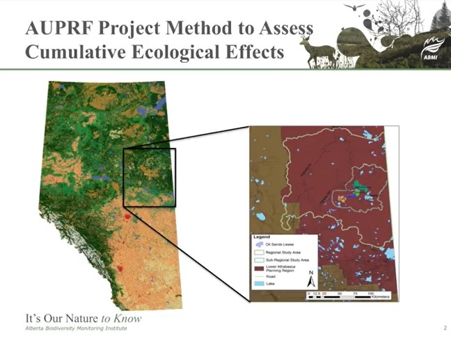
Jim Schieck, research scientist at Alberta Innovates – Technology Futures, discusses how cumulative effects are currently being assessed in Alberta. He talks about the pilot study of how to use...
Resource
Video tutorial that lays out the field sampling process for reclaimed wetland assessment from start to finish in easy-to-follow steps and visually clarifies how protocols should be enacted
Resource
I will demonstrate how data from ABMI can be combined with designed research studies to answer questions at spatial scales and temporal extents that are not possible for a single researcher to achieve