Land Management Search Results
Resource
Authors
Roger Whitehead
George Harper
In 1986, a field trial was established to test options for brushing young, shrub-dominated Engelmann spruce plantations in the moist warm Interior Cedar Hemlock biogeoclimatic subzone of British...
Resource
Authors
Leila Taheriazad
Carlos Portillo-Quintero
Arturo Sanchez-Azofeifa
This report presents a comprehensive review of industrial applications of an emerging environmental monitoring technology called Wireless Sensor Networks (WSN) and a WSN installed at Coal Valley Mine
Resource
Authors
Olaf Niemann
Fabio Visintini
Changes observed in the foliage of trees killed by bark beetles are usually described in terms of stages that have been related to a specific timeframe. The “green attack” stage is the period of time...
Resource
Resource Date:
August
2021
With the support of Alberta Environment and Parks, the Alberta Biodiversity Monitoring Institute has become the trusted source for data about habitat, species, and the human footprint.
Resource
Authors
Chris Powter
Brent Scorfield
Brent Lakeman
Shane Patterson
The development of integrated geomatics and remote sensing technologies for environmental management holds promise to meet economic diversification and effective environmental management.
Resource
Authors
Roger Whitehead
F. Cortini
S.W. Taylor
A.F. Linnell Nemec
J.W. Goudie
J. Vallentgoed
K.R. Polsson
The Stony Lake trial was established in 1987 to benchmark growth performance of interior spruce ( Picea glauca [Moench] Voss x engelmannii Parry ex Engelm.) and lodgepole pine ( Pinus contorta Dougl...
Resource
Long-term monitoring of some sites would ultimately be needed to show that recovering wellsites are on a trajectory that consistently leads to full recovery.
Resource
Authors
Michael Wulder
David Roy
Volker Radeloff
Thomas Loveland
Martha Anderson
David Johnson
Sean Healey
Zhe Zhu
Theodore Scambos
Nima Pahlevan
Matthew Hansen
Noel Gorelick
Christopher Crawford
Jeffrey Masek
Txomin Hermosilla
Joanne White
Alan Belward
Crystal Schaaf
Curtis Woodcock
Justin Huntington
Leo Lymburner
Patrick Hostert
Feng Gao
Alexei Lyapustin
Jean-Francois Pekel
Peter Strobl
Bruce Cook
Since 1972, the Landsat program has been continually monitoring the Earth, to now provide 50 years of digital, multispectral, medium spatial resolution observations. Over this time, Landsat data were...
Resource
Authors
Nadia Rochdi
J. Zhang
Karl Staenz
X. Yang
D. Rolfson
J. Banting
C. King
R. Doherty
Scope of the project is to develop a geomatics-based monitoring system to support the Government of Alberta’s efforts for monitoring reclamation success. Software will support decision making process
Resource
Authors
Mar Martinez
Gary Borstad
Leslie Brown
Kaan Ersahin
Michael Henley
Monitoring of reclaimed sites is a complex, interdisciplinary undertaking, especially in large, disturbed areas with difficult access. In that context, remote sensing is a unique and valuable tool...
Resource
This thesis investigates the effectiveness of machine learning algorithms for automatic detection of coniferous seedling data along Boreal seismic lines. In order to obtain a survival assessment and...
Resource
UAV-based remote sensing as a method for monitoring well pad recovery is determined to be feasible from a technical and field perspective.
Resource
Authors
Jennifer Hird
Alessandro Montaghi
Gregory McDermid
Jahan Kariyeva
Brian Moorman
Scott Nielsen
Anne McIntosh
Good statistical agreement between key structural vegetation parameters, such as mean and maximum vegetation height, with PPC metrics successfully predicting most height and tree-diameter metrics.
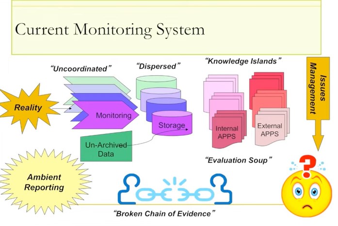
Resource
Ernie Hui gave a keynote address at the CWRA-WPAC joint conference on March 13, 2013. Ernie Hui is the CEO, Environmental Monitoring, for Alberta Environment and Sustainable Resource Development. The...