Land Management Search Results
Resource
Authors
Nadia Rochdi
J. Zhang
Karl Staenz
X. Yang
D. Rolfson
J. Banting
C. King
R. Doherty
Scope of the project is to develop a geomatics-based monitoring system to support the Government of Alberta’s efforts for monitoring reclamation success. Software will support decision making process
Resource
Authors
Richard Johnson
P. Bork
E.A.D. Allen
W.H. James
L. Koverny
The experiments detailed in this report show that it was possible to increase the solids content of sludge to 50% solids by adding three parts sand (tailings sand) to one part sludge.
Resource
Authors
Shauna-Lee Chai
Amy Nixon
Scott Nielsen
Assessed 16 potentially new invasive plant species not yet present in Alberta for their invasiveness and climate change-related risk
Resource
Mapping of oil reserves involves the use of seismic lines (linear disturbances) to determine size of reserves. These linear disturbances fragment forests and in many cases fail to regenerate trees...
Resource
From 1981 to 1984, nineteen experimental plantations were established on a range of eight typical reforested sectors in seven regions of Quebec. Included in the experiments, which took place during...
Resource
Authors
Alberta Biodiversity Monitoring Institute
Resource Date:
January
2020
Linear features, including seismic lines, pipelines, transmission lines, roads, railways, and trails are pervasive in Alberta’s boreal forest and have been implicated as a primary factor leading to...
Resource
Authors
Mike Ostafichuk
George LaRoi
Of the 16 permanent plots established in 1981, four of these, Nos. 1,6,11, and 13 were destroyed by fire shortly after they were surveyed. In 1982, four new plots were established to replace the...
Resource
Authors
Anne McIntosh
Bonnie Drozdowski
Dani Degenhardt
Chris Powter
Christina Small
John Begg
Dan Farr
Arnold Janz
Randi Lupardus
Delinda Ryerson
Jim Schieck
Scientifically robust monitoring protocol to enable consistent assessment of ecological recovery of physical, chemical, and biological indicators at certified reclaimed well pads on grasslands.
Resource
Authors
Anne Naeth
Albert Lees
Jeanie Bietz
B.D. Irving
Al Fedkenheuer
Compare vegetative productivity, plant species composition and animal utilization on pipeline right-of-way to that of the adjacent native grassland. Field assessments were conducted over 4 years
Resource
Authors
Virgil Hawkes
Gillian Donald
A long-term plot network would allow the monitoring data to describe the ecological condition of the reclaimed lands and define appropriate management strategies for achieving revegetation goals
Resource
Authors
Terry Macyk
Martin Fung
Ron Pauls
Syncrude Canada Ltd. produces 200,000 barrels of synthetic crude oil per day from its oil sands surface mining operations located 50 km north of Fort McMurray, Alberta. The three major types of...
Resource
Authors
Mar Martinez
Gary Borstad
Leslie Brown
Kaan Ersahin
Michael Henley
Monitoring of reclaimed sites is a complex, interdisciplinary undertaking, especially in large, disturbed areas with difficult access. In that context, remote sensing is a unique and valuable tool...
Resource
Authors
A. Wotherspoon
N. Thiffault
R.L. Bradley
Scarification is a mechanical site preparation technique designed to create microsites that will favor the growth of planted tree seedlings after clearcutting. However, the positive growth response of...
Resource
Provides recommendations based on the field survey and ground checking, for developing methodologies to enhance the detail on 1:50 000 vegetation maps (preliminary vegetation community classification)
Resource
Authors
Anna Dabros
Kellina Higgins
Jaime Pinzon
This resource is available on an external database and may require a paid subscription to access it. It is included on the CCLM to support our goal of capturing and sharing the breadth of all...
Resource
This thesis investigates the effectiveness of machine learning algorithms for automatic detection of coniferous seedling data along Boreal seismic lines. In order to obtain a survival assessment and...
Resource
Authors
Alberta Biodiversity Monitoring Institute
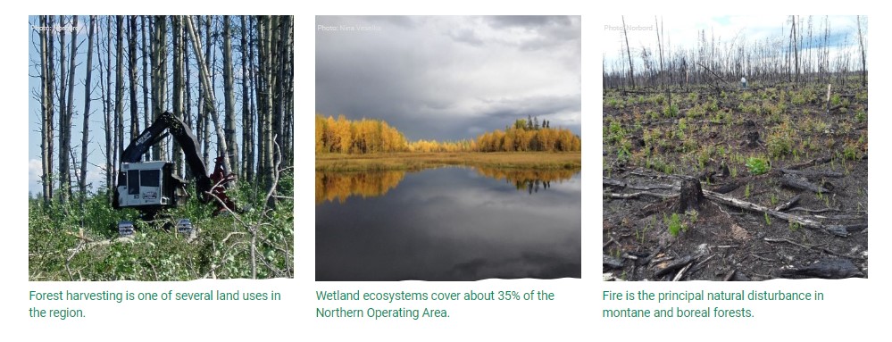
This online report describes the status of human footprint, species, and habitat in Norbord Inc.'s two main operating areas located in northwestern Alberta. This information establishes baseline...
Resource
UAV-based remote sensing as a method for monitoring well pad recovery is determined to be feasible from a technical and field perspective.
Resource
Authors
Stan Aronoff
G.A. Ross
W.A. Ross
Figures and Tables associated with Volume 1
Resource
Authors
Guillermo Castilla
Ronald Hall
Rob Skakun
Michelle Filiatrault
André Beaudoin
Michael Gartrell
Lisa Smith
Kathleen Groenewegen
Chris Hopkinson
Jurjen van der Sluijs
Resource Date:
February
2022
Wall-to-wall 30 m raster maps of broad forest type, stand height, crown closure, stand volume, total volume, aboveground biomass, and stand age were created for a ~400,000 km2 area, validated with independent data, and generalized into a polygon GIS layer resembling a traditional FI map. The MVI project showed that a reasonably accurate FI map for large, remote, predominantly non-inventoried boreal regions can be obtained at a low cost by combining limited field data with remote sensing data from multiple sources.