Land Management Search Results
Resource
Flood frequency prediction for Syncrude Lease 17 is necessary for both mining activities and environmental protection. Flood frequency curves can be derived from one year’s local data
Resource
The impact of saline waters upon freshwater biota, having special reference to the AOSERP study area, is reviewed. Toxicity summaries for individual ions are presented.
Resource
Authors
Angeline Van Dongen
Caren Jones
Amanda Schoonmaker
Jill Harvey
Dani Degenhardt
Resource Date:
November
2022
Alberta’s forests are becoming increasingly disturbed and fragmented by the cumulative effects of anthropogenic distur�bances exacerbated by the enduring footprint of seismic lines on the landscape...
Resource
Registered trappers were 70 percent native; the average age was 46. The majority held other jobs concurrently, and spent less than two months on the trapline in 1975-76 (a low year on the fur cycle).
Resource
Authors
Peter Nix
D.W.S. Westlake
R.T. Coutts
F.M. Pasutto
Incubation of samples taken along a transect of the river just downstream from the oil sands plants showed higher rates of microbial degradation on the west bank where effluents and drainage would be
Resource
Authors
P.D. Anderson
P. Spear
S. D'Apollinia
S. Perry
J. Deluca
J. Dick
Goal of the project was the establishment of criteria safeguarding fish from toxic effects of mixtures of vanadium, nickel, and phenol to fish; all are associated with oil sands developments
Resource
Authors
Guillermo Castilla
Ronald Hall
Rob Skakun
Michelle Filiatrault
André Beaudoin
Michael Gartrell
Lisa Smith
Kathleen Groenewegen
Chris Hopkinson
Jurjen van der Sluijs
Resource Date:
February
2022
Wall-to-wall 30 m raster maps of broad forest type, stand height, crown closure, stand volume, total volume, aboveground biomass, and stand age were created for a ~400,000 km2 area, validated with independent data, and generalized into a polygon GIS layer resembling a traditional FI map. The MVI project showed that a reasonably accurate FI map for large, remote, predominantly non-inventoried boreal regions can be obtained at a low cost by combining limited field data with remote sensing data from multiple sources.
Resource
Authors
Karen Cannon
Sandra Landsburg
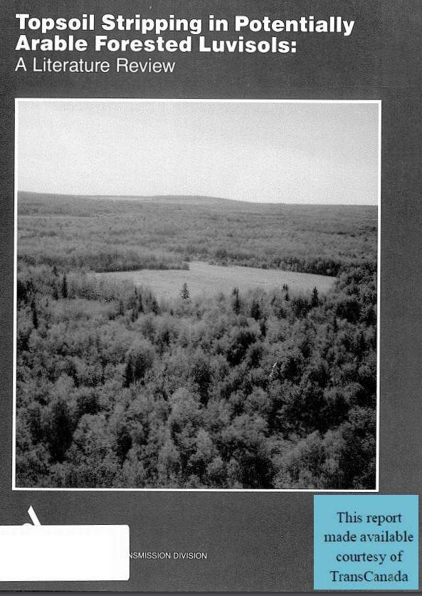
Topsoil stripping of forested soils and its subsequent replacement would result in horizon characteristics similar to those of the plough depth resulting from farming practices
Resource
Authors
B. McMahon
Peter McCart
A. Peltzner
G. Walder
Study designed to determine whether groundwater from the mine area is toxic and, if so, the concentrations at which this toxicity is expressed. Species, including fish and aquatic insects was tested
Resource
Authors
Ronald Swist
Cameron MacKay
Examine existing legislation to determine (1) what machinery is available for the creation of a transportation corridor, (2) what problems accrue or could accrue by virtue of that legislation
Resource
Authors
Bolter Parish Trimble Ltd.
Ducks Unlimited (Canada)
Tom Peters and Associates
Siemens Realty & Appraisal Services Ltd.
Stewart Weir Stewart Watson & Heinrichs
Contains the following sections: Environment Characteristics and Conditions; Soils; Wildlife; and, Preliminary Review and Land Evaluation
Resource
Authors
Bolter Parish Trimble Ltd.
Ducks Unlimited (Canada)
Tom Peters and Associates
K.C. Mackenzie Associates Ltd.
Stewart Weir Stewart Watson & Heinrichs
Contains the following chapters: Environment Characteristics and Conditions; Soils; Wildlife; and Human Settlement Pattern of the Expanded Study Area
Resource
Authors
K.C. Mackenzie Associates Limited
General purpose of this report is to examine various constraints, resulting from human settlement patterns, which will affect the selection of a route for the proposed oil sands pipeline corridor.
Resource
Authors
Kim Chapman
Rob Fleming
Nelson Thiffault
Daniel Gouge
Gordon Kayahara
Dave Morris
Wayne Bell
We present an ecological framework for classifying sites to support vegetation management decisions in the boreal and northern temperate forests of northeastern Ontario and northwestern Quebec. This...
Resource
Authors
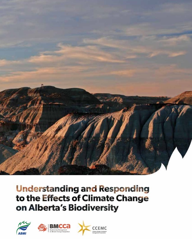
Amy Nixon
Christopher Shank
Dan Farr
The Biodiversity Management and Climate Change Adaptation project has produced a comprehensive, evidence-based, and original examination of the effects of climate change on Alberta’s biodiversity
Resource
Authors
William Wadsworth
Ave Dersch
Robin Woywitka
Kisha Supernant
The Athabasca Oil Sands (AOS) region of Alberta has one of the densest accumulations of known archaeological sites, and possibly the most archaeological sites at risk, in the country. Expanding...
Resource
Authors
Dave Reid
Jim Sherstabetoff
Eleven major vegetation types were identified and are mapped at a scale of 1:20 000 on the eastern portion of Syncrude Lease 17.
Resource
Review of provides basis for evaluating the current progress regarding vegetation descriptions in this area and for designing certain future vegetation studies.
Resource
Authors
Everett Peterson
Allan Levinsohn
Black Spruce - Labrador Tea was the dominant vegetation type, making up 35.0% of the 9,250 ha study area. The 2nd most abundant type was Aspen - White Spruce (26.0%) and the 3rd was White Spruce – Asp
Resource
Authors
Jack Mercer
Robert Charlton
Imagery from both meteorological and environmental satellite sensor systems was analyzed to determine its applicability in monitoring weather conditions at the Alberta oil sands.