Land Management Search Results
Resource
Authors
Greg McDermid
Julie Lovitt
Mustafizur Rahman
Maria Strack
Saru Saraswati
Bin Xu
This presentation discusses remote sensing to assess groundwater, microtopogpraphy and above-ground biomass, as well as wetland management. Presented at the NAIT 7th Seminar on Linear Disturbance...
Resource
Resource Date:
January
2016
This presentation provides an overview of the Ducks Unlimited Canada Enhanced Wetland Classification System, including current and potential uses for wetland conservation and management.
Resource
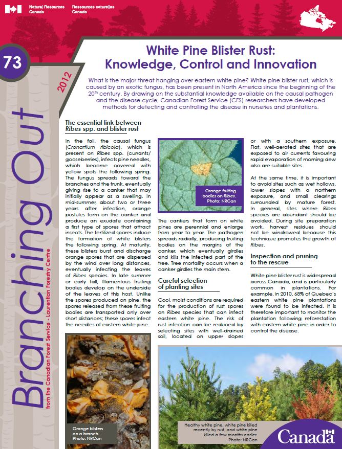
What is the major threat hanging over eastern white pine? White pine blister rust, which is caused by an exotic fungus, has been present in North America since the beginning of the 20th century. By...
Resource
Authors
Boreal Avian Modelling Project
Bioclimatic niche models of current avian distribution and density for 80 boreal-breeding songbird species are mapped based on present counts and climate change models
Resource
Beavers, Canada's national animal, provide many valuable ecosystem services including storage of water during droughts and flooding, creation of habitat for a variety of species, and improvement of...
Resource
Can seedlings intended for reforestation be planted anywhere, regardless of the seed source from which they were obtained? The Optisource software was developed to help forest managers answer this...
Resource
Can seedlings intended for reforestation be planted anywhere, regardless of the seed source from which they were obtained? The Optisource software was developed to help forest managers answer this...
Resource
It is generally recognized that plants are genetically adapted to the prevailing climate. Planting stock is often moved across environmental gradients with little knowledge of the ecological risks...
Resource
Technology Transfer Notes are a series of publications focusing on forestry research applications. Technology Transfer Notes offer new techniques, methods, tools and procedures, and deliver research...
Resource
Seismic lines are slow to recover naturally, and many seismic lines need to be restored to contribute towards caribou recovery. Caribou predators use seismic lines to travel throughout caribou ranges...
Resource
This presentation provides insight and understanding to how LiDAR data is used to produce digital elevation models and vegetation maps.
Resource
This presentation discusses SAR/InSAR water extent mapping, mapping vegetation as water, and how water mapping changes in the wetlands.
Resource
Resource Date:
February
2012
This presentation describes the ways that LiDAR has helped some of the challenges previously encountered in data collection for the surficial geology mapping program.
Resource
Authors
Axel Anderson
Richard Mccleary
Sheena Spencer
Michael Wagner
Resource Date:
January
2018
This poster outlines the development of a watershed assessment procedure for the eastern slopes of Alberta. The process was developed with the Oldman Watershed Council, using the Oldman River Basin as a study site.
Resource
Authors
Michael Merchant
Alain Richard
Kevin Smith
Rebecca Warren
Rebecca Edwards
Adam Spitzig
Dan Fehringer
This research poster describes the Enhanced Wetland Inventory (EWC) and Boreal Wetland Classification System developed by Ducks Unlimited Canada. Presented at the NAIT 7th Seminar on Linear...
Resource
Resource Date:
January
2016
This presentation provides an overview of Manitoba Hydro's planning through to operations approach to wetland mitigation on their rights of ways.
Resource
What is the major threat hanging over eastern white pine? White pine blister rust, which is caused by an exotic fungus, has been present in North America since the beginning of the 20th century. By...